Transport Functions
Rail
Road
Multimodal
Hub Profile
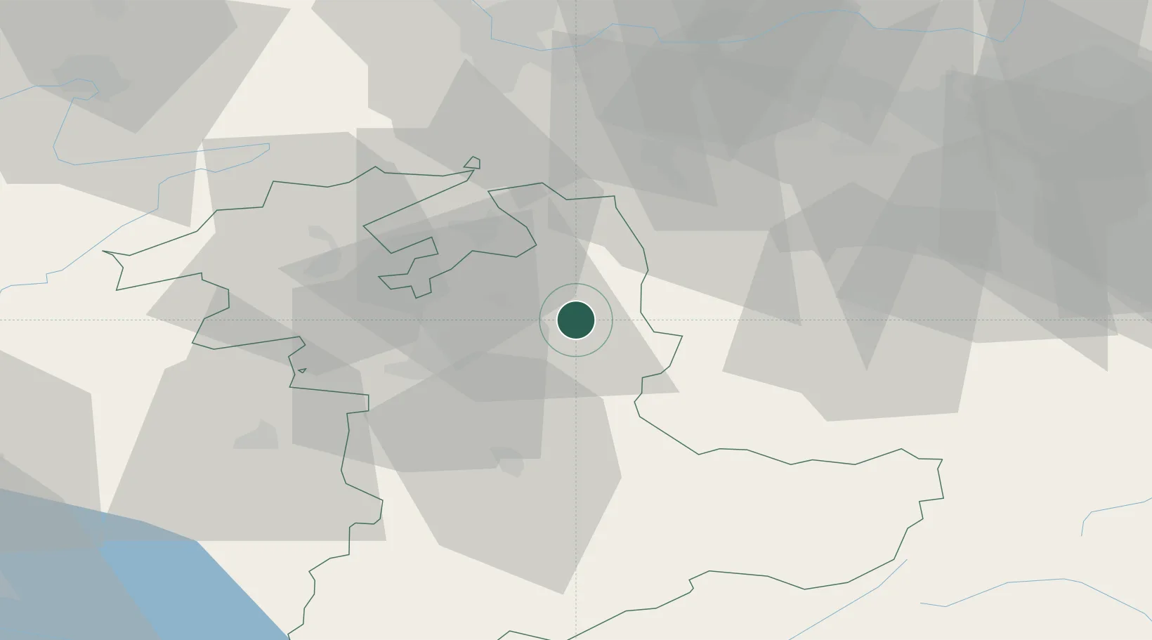
Place type
Populated place
Region
Bern
Population
5,159
Time zone
Europe/Zurich
Elevation
703 m
Location
Nearby Logistics Neighbours
Cities
- 1Affoltern im Emmental4 km
- 2Lützelflüh5 km
- 3Kirchlindach6 km
- 4Hofstatt10 km
- 5Oberburg10 km
Ports
- 1Genova307 km
- 2Savona308 km
- 3Rada Di Vado313 km
- 4Chiavari - Lavagna327 km
- 5Imperia351 km
Airports
- 1Bern Airport23 km
- 2Grenchen Airfield30 km
- 3Alpnach Air Base42 km
- 4Emmen Air Base43 km
- 5EuroAirport Basel–Mulhouse–Freiburg65 km
Trade Zones
- 1ZFU Mulhouse86 km
- 2ZFU Montbéliard90 km
- 3PESA - Port-Franc et Entrepôts de Lausanne-Chavornay SA97 km
- 4ZFU Belfort99 km
- 5Port Franc Vevey110 km
DatabookThe Record of Consolidated Knowledge
Switzerland beyond logistics?