UN/LOCODE hub · Switzerland
CHTGS
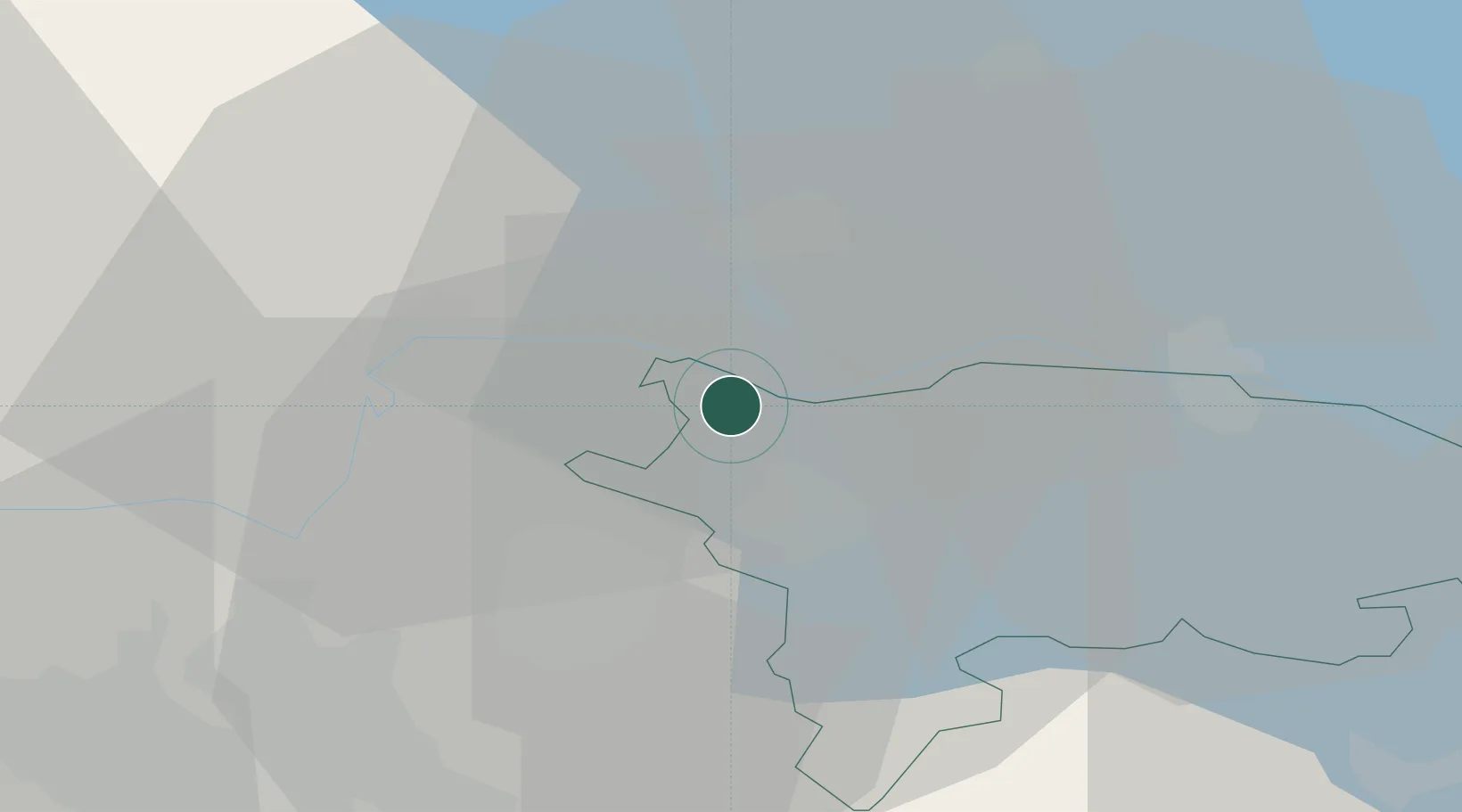
Stein am Rhein
47.6500°, 8.8500°
3,224
Population
3
Transport functions
Transport Functions
Rail
Road
Multimodal
Hub Profile
Place type
Populated place
Region
Schaffhausen
Population
3,224
Time zone
Europe/Zurich
Elevation
408 m
Location
Nearby Logistics Neighbours
Cities
- 1Eschenz1 km
- 2Felben11 km
- 3Schlatt11 km
- 4Rickenbach-Attikon12 km
- 5Singen12 km
Ports
- 1Genova362 km
- 2Porto Di Lido-Venezia370 km
- 3Savona372 km
- 4Chiavari - Lavagna374 km
- 5Porto Di Chioggia377 km
Airports
Trade Zones
- 1ZFU Mulhouse114 km
- 2ZFU Neuhof128 km
- 3ZFU Hautepierre136 km
- 4ZFU Belfort153 km
- 5ZFU Montbéliard156 km
DatabookThe Record of Consolidated Knowledge
Switzerland beyond logistics?