Transport Functions
Road
Multimodal
Hub Profile
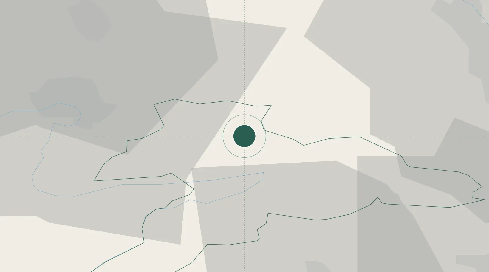
Place type
Populated place
Region
Jura
Population
1,693
Time zone
Europe/Zurich
Elevation
448 m
Location
Nearby Logistics Neighbours
Cities
- 1Courgenay4 km
- 2Saint-Ursanne8 km
- 3Chevenez12 km
- 4Bassecourt12 km
- 5Delle13 km
Ports
- 1Savona362 km
- 2Genova365 km
- 3Rada Di Vado367 km
- 4Chiavari - Lavagna387 km
- 5Imperia401 km
Airports
- 1Montbéliard-Courcelles Airfield27 km
- 2EuroAirport Basel–Mulhouse–Freiburg35 km
- 3Grenchen Airfield35 km
- 4Les Eplatures Airport47 km
- 5Bern Airport64 km
Trade Zones
- 1ZFU Montbéliard27 km
- 2ZFU Belfort34 km
- 3ZFU Mulhouse38 km
- 4ZFU Besancon88 km
- 5PESA - Port-Franc et Entrepôts de Lausanne-Chavornay SA91 km
DatabookThe Record of Consolidated Knowledge
Switzerland beyond logistics?