Transport Functions
Road
Multimodal
Hub Profile
Region
LU
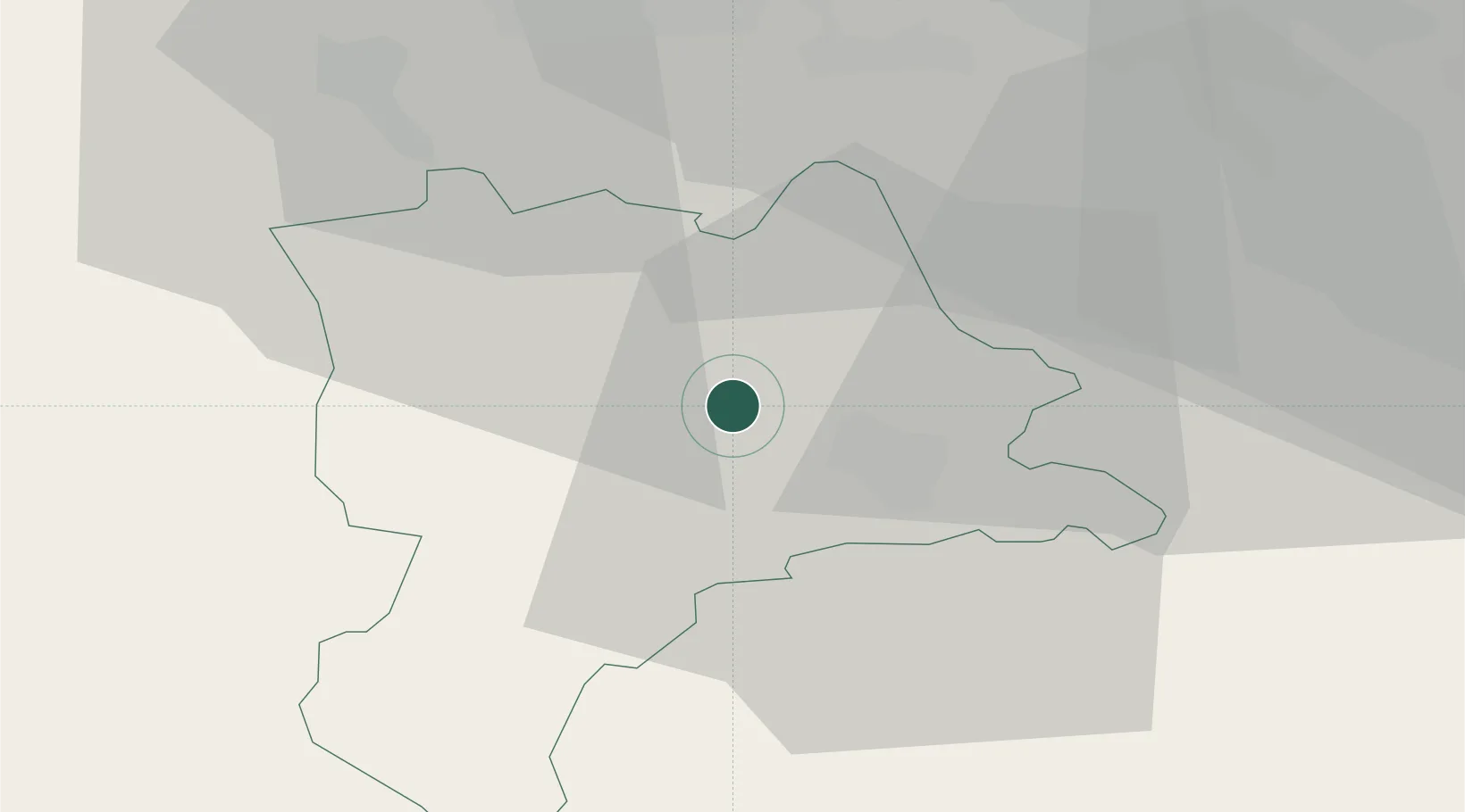
Location
Nearby Logistics Neighbours
Ports
- 1Genova306 km
- 2Savona311 km
- 3Rada Di Vado316 km
- 4Chiavari - Lavagna323 km
- 5La Spezia357 km
Airports
- 1Emmen Air Base9 km
- 2Alpnach Air Base19 km
- 3Dübendorf Air Base48 km
- 4Zürich Airport48 km
- 5Bern Airport56 km
Trade Zones
- 1ZFU Mulhouse96 km
- 2ZFU Montbéliard115 km
- 3ZFU Belfort120 km
- 4PESA - Port-Franc et Entrepôts de Lausanne-Chavornay SA131 km
- 5Port Franc Vevey142 km
DatabookThe Record of Consolidated Knowledge
Switzerland beyond logistics?