Transport Functions
Road
Multimodal
Hub Profile
Place type
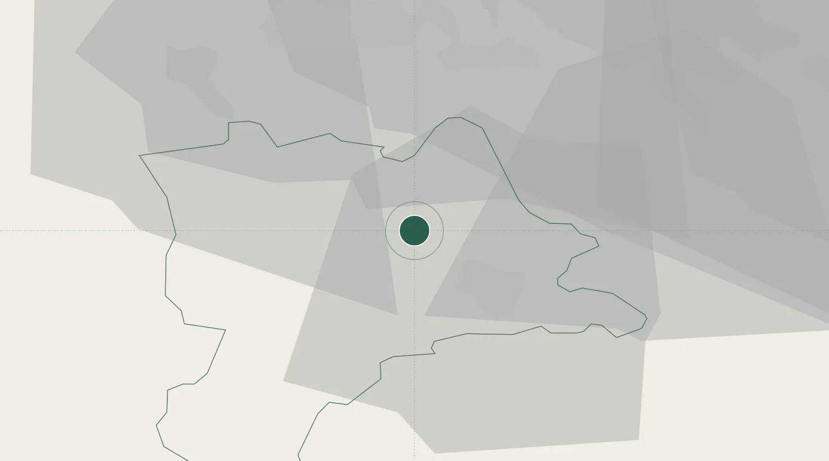
Populated place
Region
Lucerne
Population
3,754
Time zone
Europe/Zurich
Elevation
516 m
Location
Nearby Logistics Neighbours
Cities
- 1Sempach Station4 km
- 2Schenkon6 km
- 3Lucerne8 km
- 4Ballwil9 km
- 5Emmen9 km
Ports
- 1Genova309 km
- 2Savona314 km
- 3Rada Di Vado320 km
- 4Chiavari - Lavagna326 km
- 5La Spezia360 km
Airports
- 1Emmen Air Base9 km
- 2Alpnach Air Base22 km
- 3Zürich Airport45 km
- 4Dübendorf Air Base45 km
- 5Bern Airport59 km
Trade Zones
- 1ZFU Mulhouse94 km
- 2ZFU Montbéliard114 km
- 3ZFU Belfort119 km
- 4PESA - Port-Franc et Entrepôts de Lausanne-Chavornay SA133 km
- 5Port Franc Vevey145 km
DatabookThe Record of Consolidated Knowledge
Switzerland beyond logistics?