Transport Functions
Rail
Road
Hub Profile
Place type
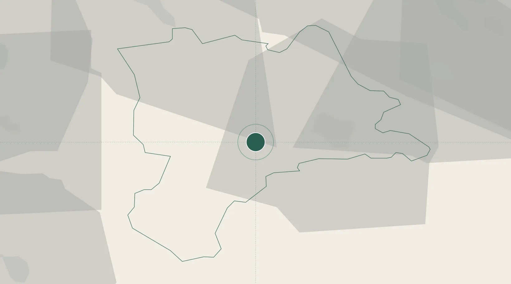
Populated place
Region
Lucerne
Time zone
Europe/Zurich
Elevation
521 m
Location
Nearby Logistics Neighbours
Cities
- 1Malters4 km
- 2Wolhusen5 km
- 3Sempach Station8 km
- 4Entlebuch8 km
- 5Menznau9 km
Ports
- 1Genova299 km
- 2Savona303 km
- 3Rada Di Vado309 km
- 4Chiavari - Lavagna317 km
- 5Imperia350 km
Airports
- 1Emmen Air Base15 km
- 2Alpnach Air Base15 km
- 3Bern Airport50 km
- 4Dübendorf Air Base56 km
- 5Grenchen Airfield57 km
Trade Zones
- 1ZFU Mulhouse100 km
- 2ZFU Montbéliard114 km
- 3ZFU Belfort121 km
- 4PESA - Port-Franc et Entrepôts de Lausanne-Chavornay SA125 km
- 5Port Franc Vevey135 km
DatabookThe Record of Consolidated Knowledge
Switzerland beyond logistics?