Transport Functions
Rail
Road
Hub Profile
Place type
Populated place
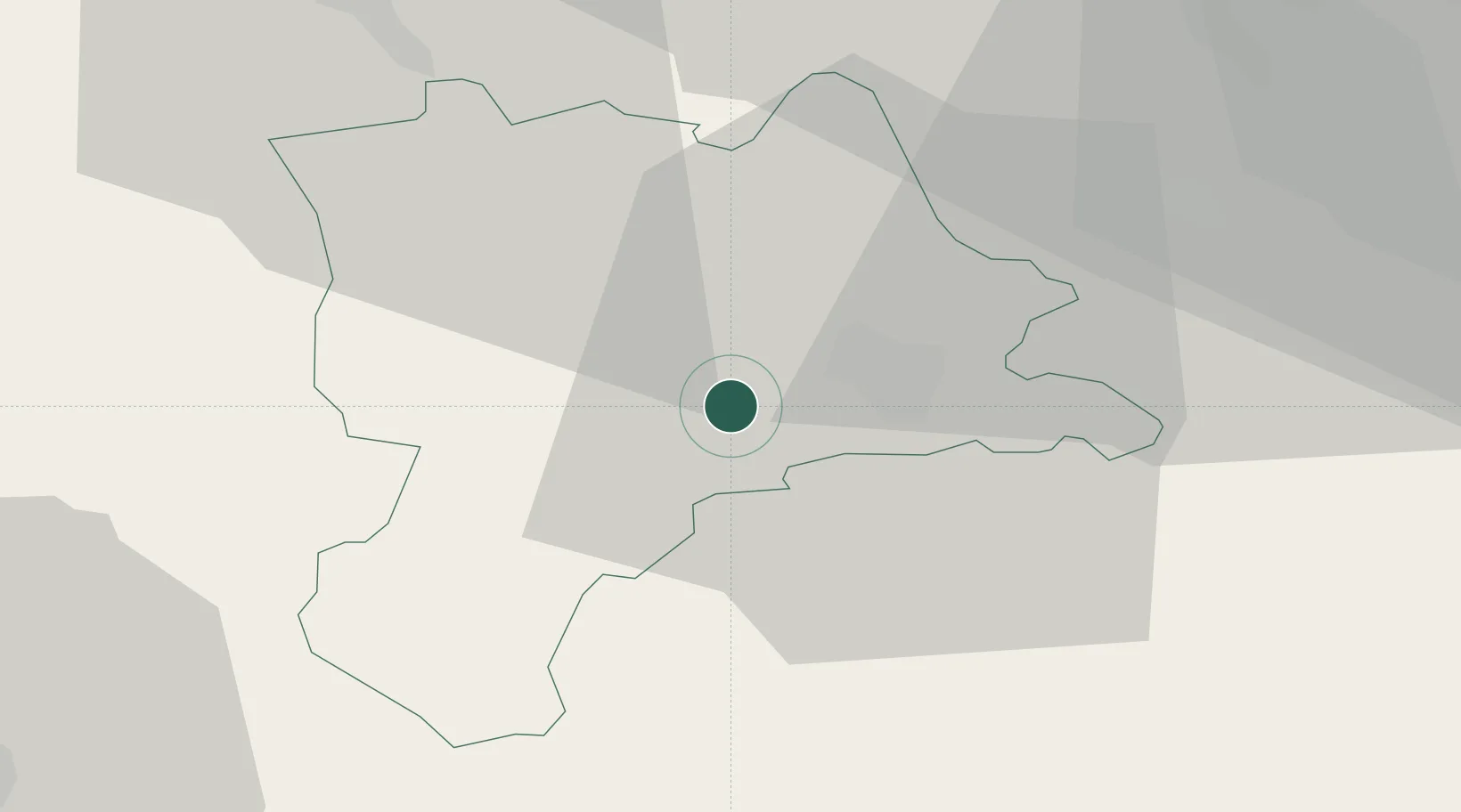
Region
Lucerne
Population
6,181
Time zone
Europe/Zurich
Elevation
504 m
Location
Nearby Logistics Neighbours
Cities
- 1Schachen4 km
- 2Sempach Station7 km
- 3Lucerne8 km
- 4Wolhusen9 km
- 5Emmen10 km
Ports
- 1Genova299 km
- 2Savona303 km
- 3Rada Di Vado309 km
- 4Chiavari - Lavagna316 km
- 5Imperia351 km
Airports
- 1Emmen Air Base11 km
- 2Alpnach Air Base13 km
- 3Bern Airport54 km
- 4Dübendorf Air Base54 km
- 5Zürich Airport55 km
Trade Zones
- 1ZFU Mulhouse102 km
- 2ZFU Montbéliard118 km
- 3ZFU Belfort124 km
- 4PESA - Port-Franc et Entrepôts de Lausanne-Chavornay SA128 km
- 5Port Franc Vevey139 km
DatabookThe Record of Consolidated Knowledge
Switzerland beyond logistics?