Transport Functions
Port
Road
Hub Profile
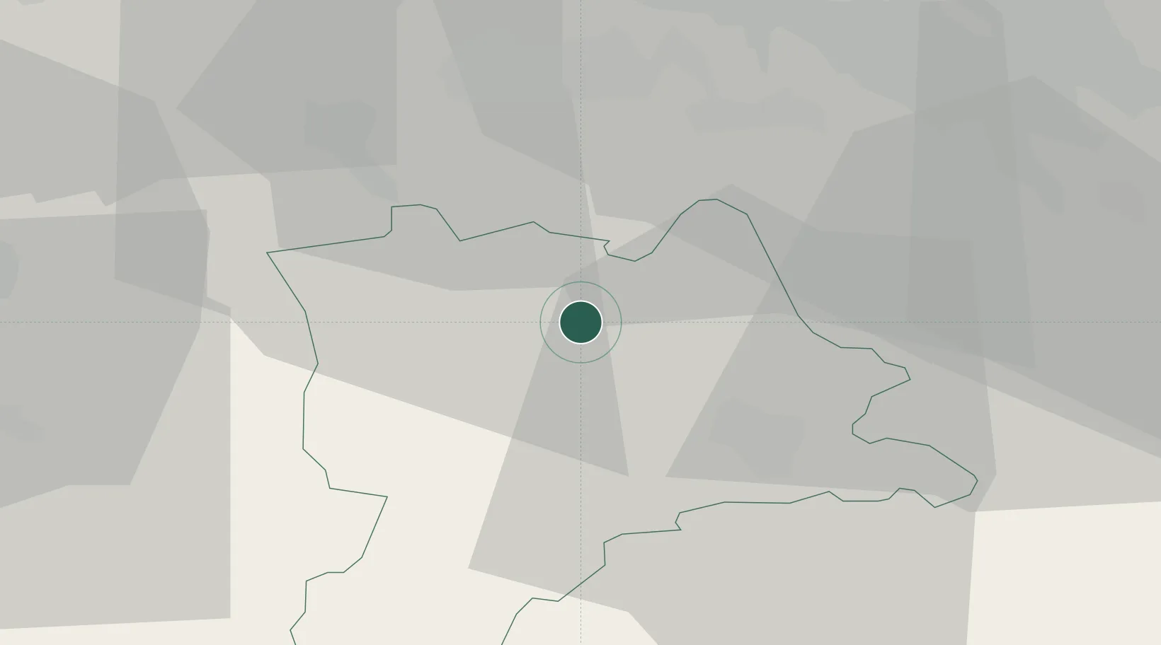
Place type
District seat
Region
Lucerne
Population
2,616
Time zone
Europe/Zurich
Elevation
526 m
Location
Nearby Logistics Neighbours
Cities
- 1Buron6 km
- 2Sempach6 km
- 3Sempach Station8 km
- 4Menziken10 km
- 5Alberswil10 km
Ports
- 1Genova314 km
- 2Savona318 km
- 3Rada Di Vado324 km
- 4Chiavari - Lavagna331 km
- 5Imperia365 km
Airports
- 1Emmen Air Base15 km
- 2Alpnach Air Base27 km
- 3Zürich Airport45 km
- 4Dübendorf Air Base47 km
- 5Grenchen Airfield54 km
Trade Zones
- 1ZFU Mulhouse88 km
- 2ZFU Montbéliard108 km
- 3ZFU Belfort113 km
- 4PESA - Port-Franc et Entrepôts de Lausanne-Chavornay SA130 km
- 5Port Franc Vevey143 km
DatabookThe Record of Consolidated Knowledge
Switzerland beyond logistics?