Transport Functions
Multimodal
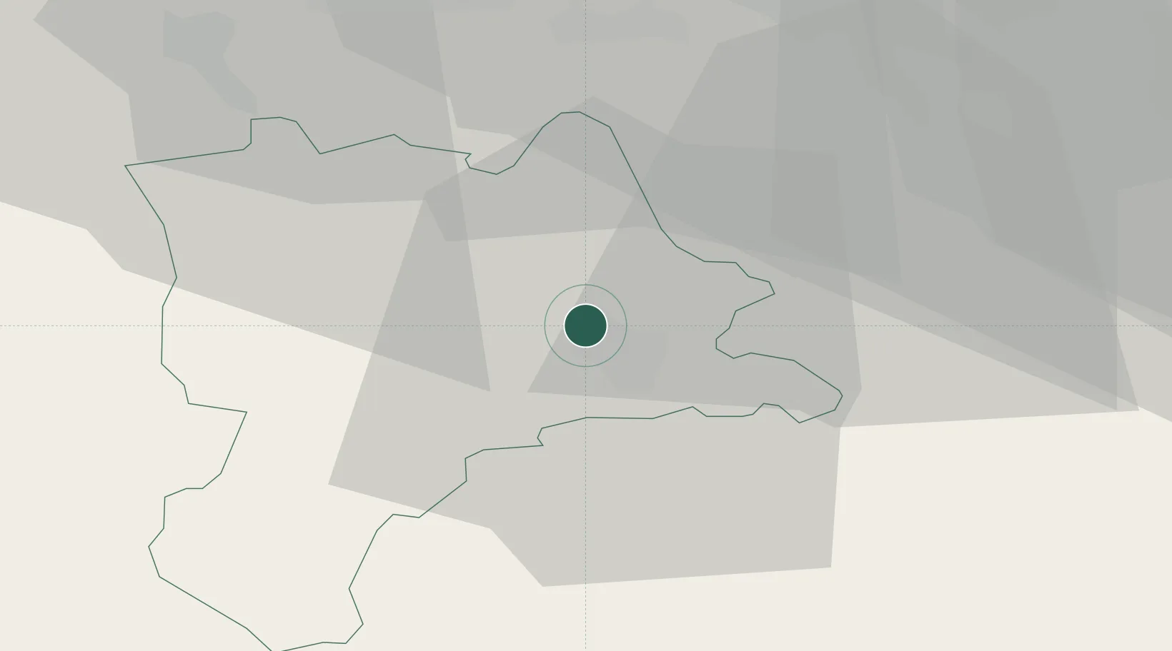
Hub Profile
Region
LU
Location
Nearby Logistics Neighbours
Cities
- 1Emmen3 km
- 2Sempach Station7 km
- 3Sempach8 km
- 4Ballwil8 km
- 5Malters8 km
Ports
- 1Genova303 km
- 2Savona308 km
- 3Rada Di Vado314 km
- 4Chiavari - Lavagna320 km
- 5La Spezia353 km
Airports
- 1Emmen Air Base3 km
- 2Alpnach Air Base16 km
- 3Dübendorf Air Base45 km
- 4Zürich Airport47 km
- 5Bern Airport61 km
Trade Zones
- 1ZFU Mulhouse102 km
- 2ZFU Montbéliard121 km
- 3ZFU Belfort127 km
- 4PESA - Port-Franc et Entrepôts de Lausanne-Chavornay SA136 km
- 5Port Franc Vevey147 km
DatabookThe Record of Consolidated Knowledge
Switzerland beyond logistics?