Transport Functions
Rail
Road
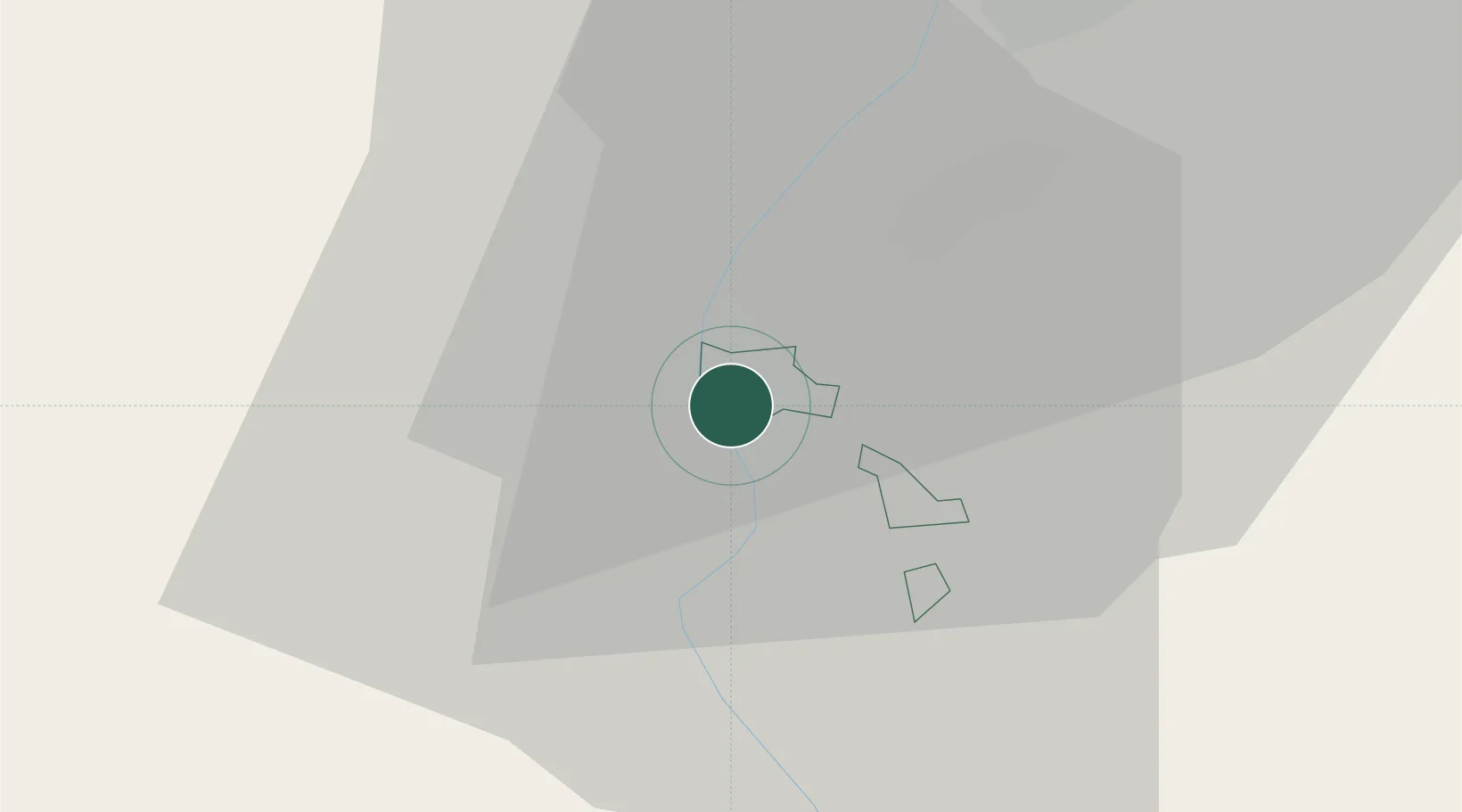
Hub Profile
Place type
Regional capital
Region
Schaan
Population
5,998
Time zone
Europe/Vaduz
Elevation
453 m
Location
Nearby Logistics Neighbours
Cities
- 1Buchs3 km
- 2Werdenberg3 km
- 3Sennwald11 km
- 4Trübbach11 km
- 5Meiningen14 km
Ports
- 1Porto Di Lido-Venezia298 km
- 2Porto Di Chioggia304 km
- 3Genova311 km
- 4Chiavari - Lavagna319 km
- 5Nogaro322 km
Airports
- 1Sankt Gallen Altenrhein Airport36 km
- 2Bodensee Airport Friedrichshafen56 km
- 3Dübendorf Air Base69 km
- 4Engadin Airport76 km
- 5Zürich Airport79 km
Trade Zones
- 1Livigno Free Trade Zone84 km
- 2Magazzini Generali Con Chiasso153 km
- 3ZFU Mulhouse175 km
- 4ZFU Neuhof200 km
- 5ZFU Montbéliard208 km
DatabookThe Record of Consolidated Knowledge
Liechtenstein beyond logistics?