Transport Functions
Rail
Road
Postal
Hub Profile
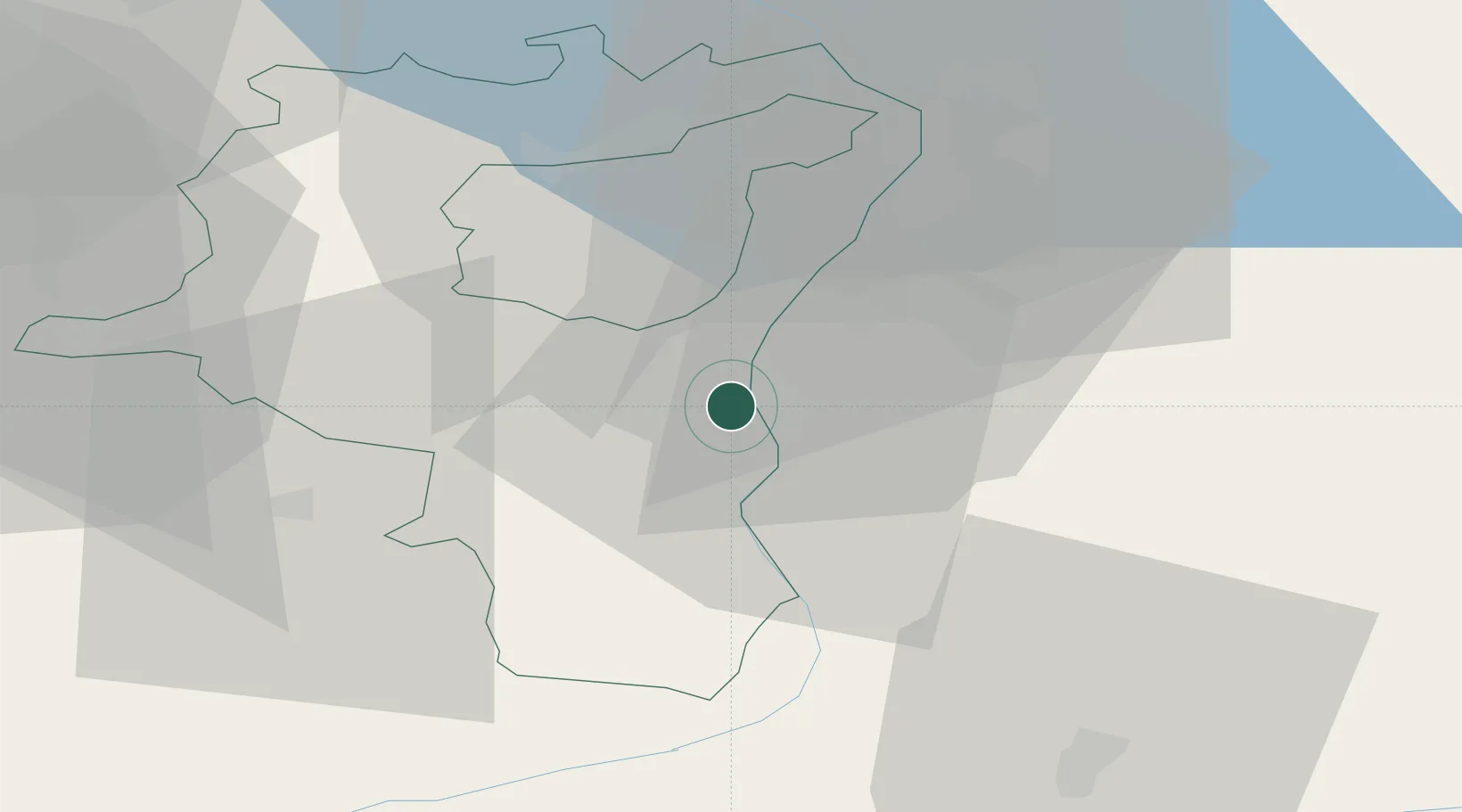
Place type
Populated place
Region
Saint Gallen
Population
10,418
Time zone
Europe/Zurich
Elevation
447 m
Location
Nearby Logistics Neighbours
Cities
- 1Werdenberg0 km
- 2Schaan3 km
- 3Trübbach11 km
- 4Sennwald11 km
- 5Meiningen15 km
Ports
- 1Porto Di Lido-Venezia300 km
- 2Porto Di Chioggia306 km
- 3Genova311 km
- 4Chiavari - Lavagna318 km
- 5Nogaro324 km
Airports
- 1Sankt Gallen Altenrhein Airport36 km
- 2Bodensee Airport Friedrichshafen56 km
- 3Dübendorf Air Base67 km
- 4Zürich Airport77 km
- 5Engadin Airport77 km
Trade Zones
- 1Livigno Free Trade Zone85 km
- 2Magazzini Generali Con Chiasso152 km
- 3ZFU Mulhouse173 km
- 4ZFU Neuhof199 km
- 5ZFU Montbéliard205 km
DatabookThe Record of Consolidated Knowledge
Switzerland beyond logistics?