Transport Functions
Rail
Road
Hub Profile
Place type
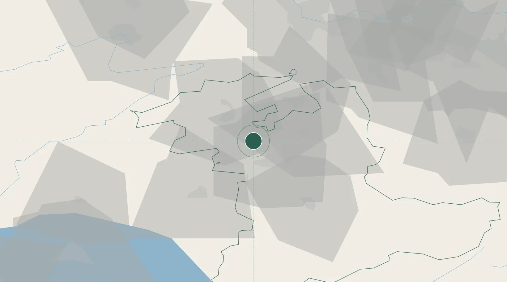
Populated place
Region
Bern
Population
3,248
Time zone
Europe/Zurich
Elevation
532 m
Location
Nearby Logistics Neighbours
Cities
- 1Suberg5 km
- 2Schönbühl8 km
- 3Jegenstorf9 km
- 4Studen10 km
- 5Worblaufen10 km
Ports
- 1Savona314 km
- 2Genova316 km
- 3Rada Di Vado319 km
- 4Chiavari - Lavagna339 km
- 5Imperia354 km
Airports
- 1Bern Airport16 km
- 2Grenchen Airfield17 km
- 3Payerne Air Base41 km
- 4Les Eplatures Airport45 km
- 5EuroAirport Basel–Mulhouse–Freiburg64 km
Trade Zones
- 1ZFU Montbéliard69 km
- 2PESA - Port-Franc et Entrepôts de Lausanne-Chavornay SA72 km
- 3ZFU Mulhouse80 km
- 4ZFU Belfort81 km
- 5Port Franc Vevey89 km
DatabookThe Record of Consolidated Knowledge
Switzerland beyond logistics?