Transport Functions
Rail
Road
Hub Profile
Place type
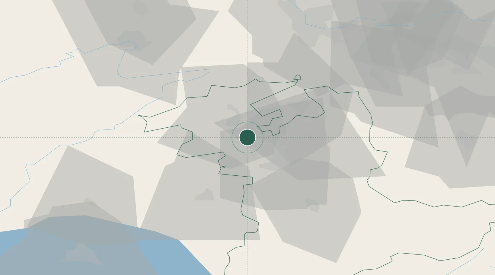
Populated place
Region
Bern
Time zone
Europe/Zurich
Elevation
475 m
Location
Nearby Logistics Neighbours
Ports
- 1Savona319 km
- 2Genova321 km
- 3Rada Di Vado323 km
- 4Chiavari - Lavagna344 km
- 5Imperia358 km
Airports
- 1Grenchen Airfield14 km
- 2Bern Airport21 km
- 3Payerne Air Base40 km
- 4Les Eplatures Airport41 km
- 5EuroAirport Basel–Mulhouse–Freiburg61 km
Trade Zones
- 1ZFU Montbéliard64 km
- 2PESA - Port-Franc et Entrepôts de Lausanne-Chavornay SA71 km
- 3ZFU Belfort76 km
- 4ZFU Mulhouse76 km
- 5Port Franc Vevey89 km
DatabookThe Record of Consolidated Knowledge
Switzerland beyond logistics?