Transport Functions
Rail
Road
Multimodal
Hub Profile
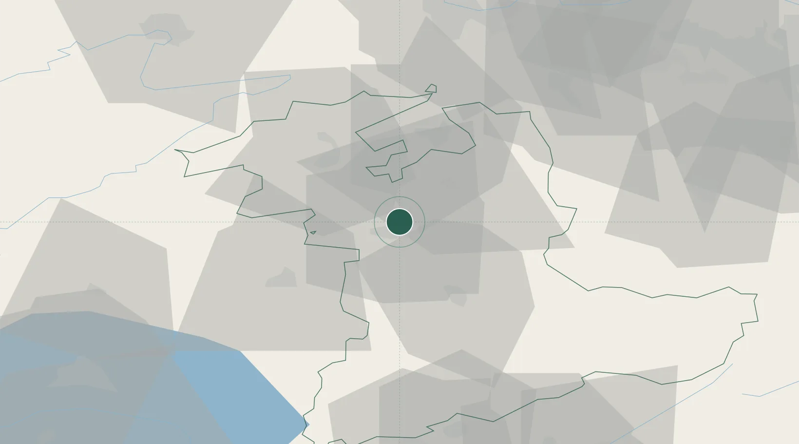
Place type
Populated place
Region
Bern
Time zone
Europe/Zurich
Elevation
522 m
Location
Nearby Logistics Neighbours
Cities
- 1Schönbühl6 km
- 2Boll7 km
- 3Köniz8 km
- 4Hindelbank9 km
- 5Jegenstorf10 km
Ports
- 1Savona305 km
- 2Genova307 km
- 3Rada Di Vado310 km
- 4Chiavari - Lavagna329 km
- 5Imperia346 km
Airports
- 1Bern Airport7 km
- 2Grenchen Airfield24 km
- 3Payerne Air Base44 km
- 4Les Eplatures Airport53 km
- 5Alpnach Air Base62 km
Trade Zones
- 1PESA - Port-Franc et Entrepôts de Lausanne-Chavornay SA74 km
- 2ZFU Montbéliard79 km
- 3ZFU Mulhouse88 km
- 4Port Franc Vevey89 km
- 5ZFU Belfort90 km
DatabookThe Record of Consolidated Knowledge
Switzerland beyond logistics?