Transport Functions
Rail
Road
Multimodal
Hub Profile
Place type
Populated place
Region
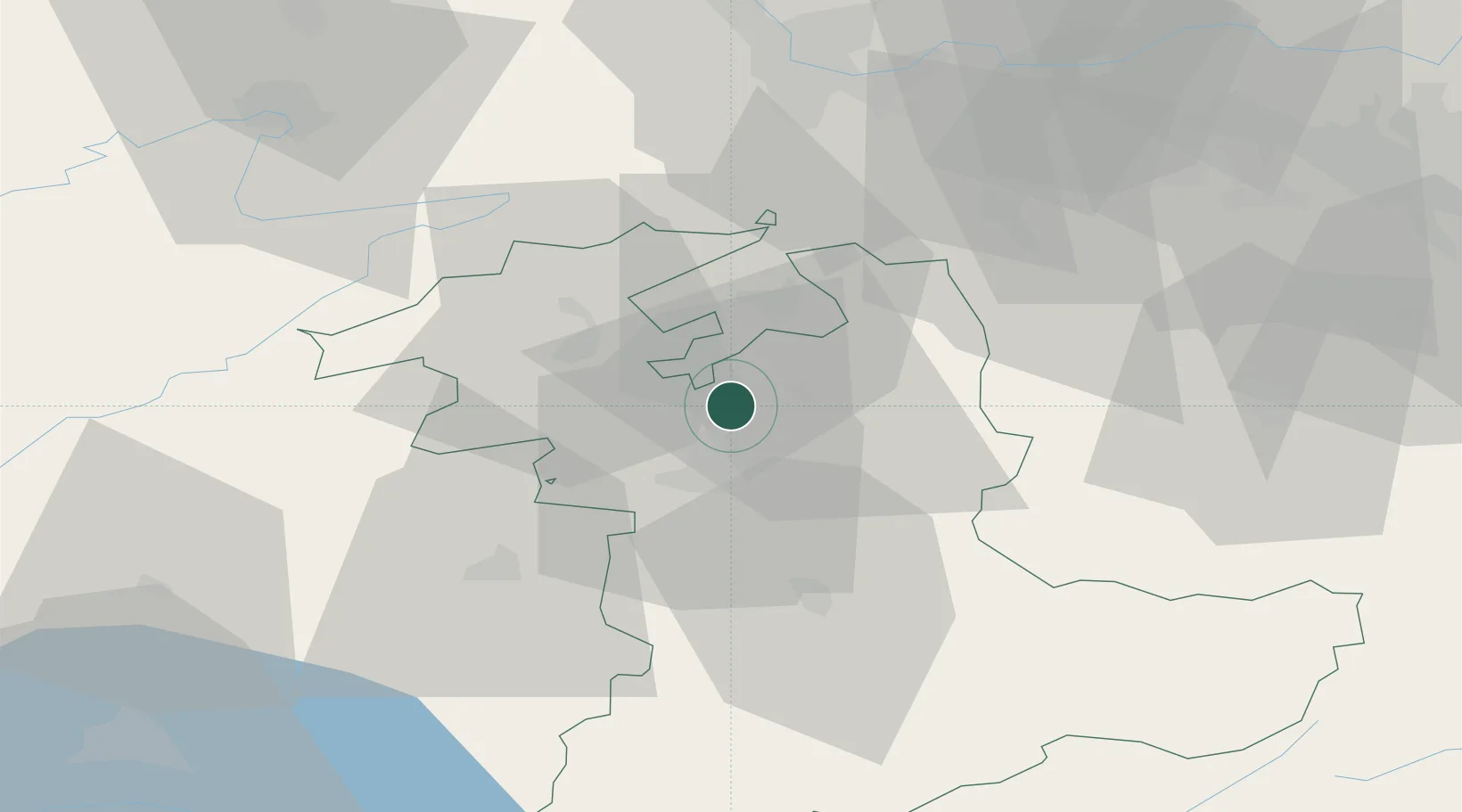
Bern
Population
4,027
Time zone
Europe/Zurich
Elevation
524 m
Location
Nearby Logistics Neighbours
Cities
- 1Hindelbank3 km
- 2Fraubrunnen4 km
- 3Schönbühl4 km
- 4Rüdtligen-Alchenflüh6 km
- 5Kirchberg7 km
Ports
- 1Savona314 km
- 2Genova315 km
- 3Rada Di Vado318 km
- 4Chiavari - Lavagna337 km
- 5Imperia355 km
Airports
- 1Bern Airport15 km
- 2Grenchen Airfield16 km
- 3Payerne Air Base50 km
- 4Les Eplatures Airport54 km
- 5Alpnach Air Base61 km
Trade Zones
- 1ZFU Montbéliard74 km
- 2ZFU Mulhouse79 km
- 3PESA - Port-Franc et Entrepôts de Lausanne-Chavornay SA81 km
- 4ZFU Belfort84 km
- 5Port Franc Vevey96 km
DatabookThe Record of Consolidated Knowledge
Switzerland beyond logistics?