Transport Functions
Rail
Road
Hub Profile
Place type
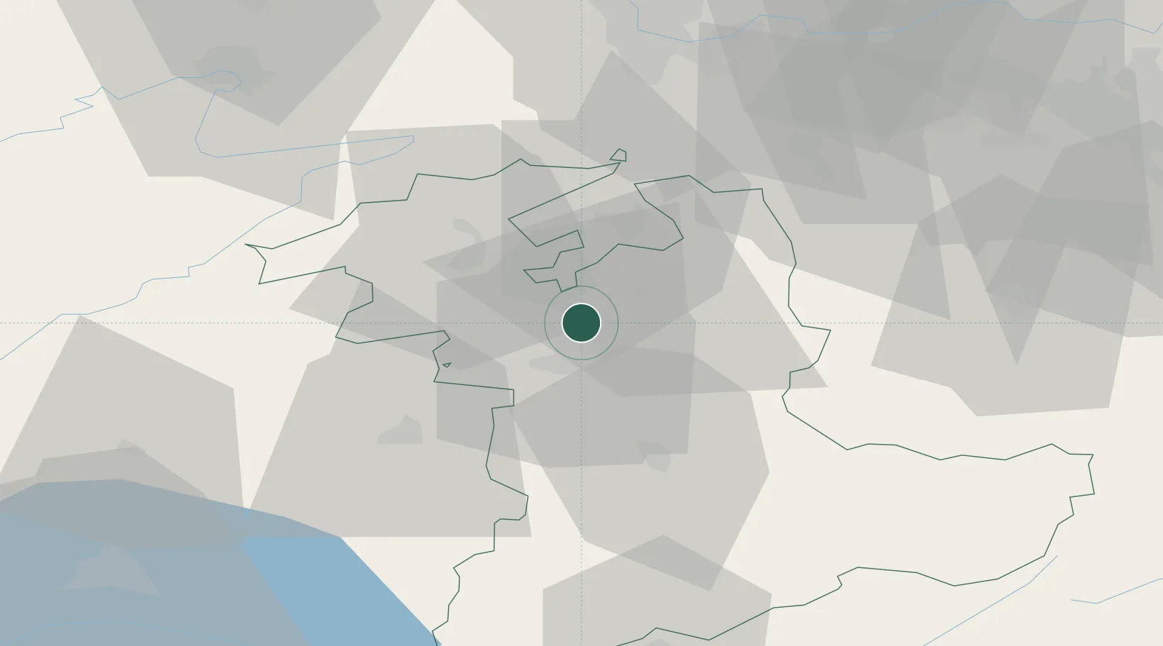
Populated place
Region
Bern
Time zone
Europe/Zurich
Elevation
527 m
Location
Nearby Logistics Neighbours
Cities
- 1Jegenstorf4 km
- 2Hindelbank4 km
- 3Worblaufen6 km
- 4Schüpfen8 km
- 5Fraubrunnen8 km
Ports
- 1Savona310 km
- 2Genova312 km
- 3Rada Di Vado315 km
- 4Chiavari - Lavagna334 km
- 5Imperia351 km
Airports
- 1Bern Airport12 km
- 2Grenchen Airfield19 km
- 3Payerne Air Base47 km
- 4Les Eplatures Airport53 km
- 5Alpnach Air Base61 km
Trade Zones
- 1ZFU Montbéliard76 km
- 2PESA - Port-Franc et Entrepôts de Lausanne-Chavornay SA78 km
- 3ZFU Mulhouse82 km
- 4ZFU Belfort87 km
- 5Port Franc Vevey93 km
DatabookThe Record of Consolidated Knowledge
Switzerland beyond logistics?