Transport Functions
Multimodal
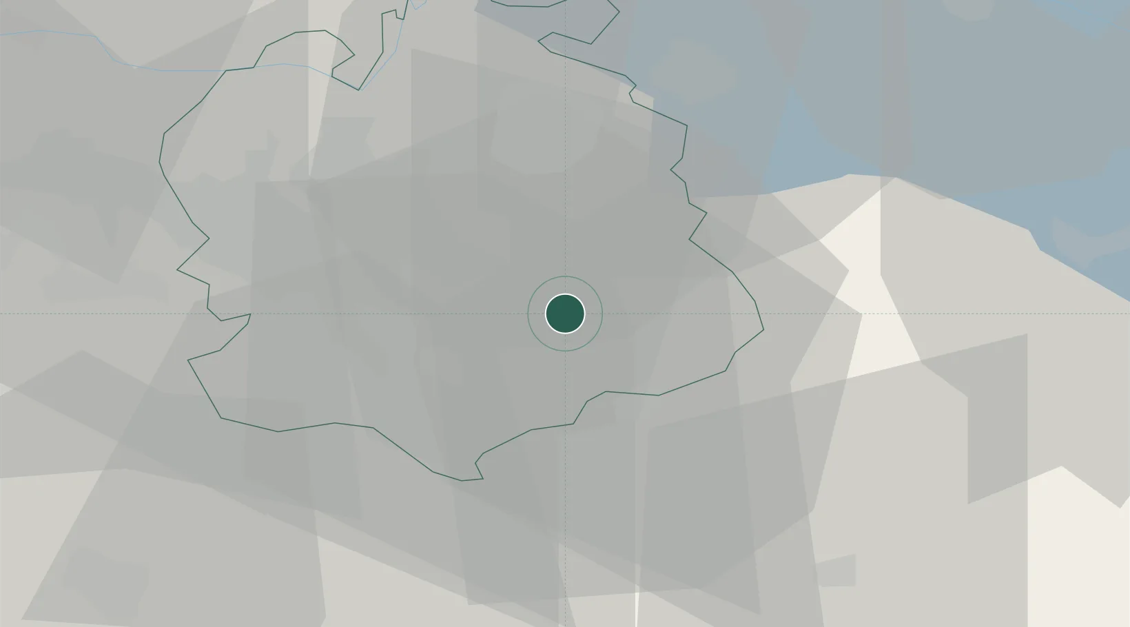
Hub Profile
Region
ZH
Location
Nearby Logistics Neighbours
Cities
- 1Wetzikon2 km
- 2Uster5 km
- 3Fehraltorf6 km
- 4Volketswil7 km
- 5Egg7 km
Ports
- 1Genova327 km
- 2Savona336 km
- 3Chiavari - Lavagna340 km
- 4Rada Di Vado342 km
- 5Porto Di Lido-Venezia353 km
Airports
- 1Dübendorf Air Base12 km
- 2Zürich Airport22 km
- 3Emmen Air Base44 km
- 4Alpnach Air Base57 km
- 5Sankt Gallen Altenrhein Airport62 km
Trade Zones
- 1ZFU Mulhouse117 km
- 2Livigno Free Trade Zone135 km
- 3ZFU Montbéliard150 km
- 4ZFU Belfort151 km
- 5ZFU Neuhof154 km
DatabookThe Record of Consolidated Knowledge
Switzerland beyond logistics?