Transport Functions
Rail
Road
Hub Profile
Place type
Populated place
Region
Zurich
Population
24,764
Time zone
Europe/Zurich
Elevation
539 m
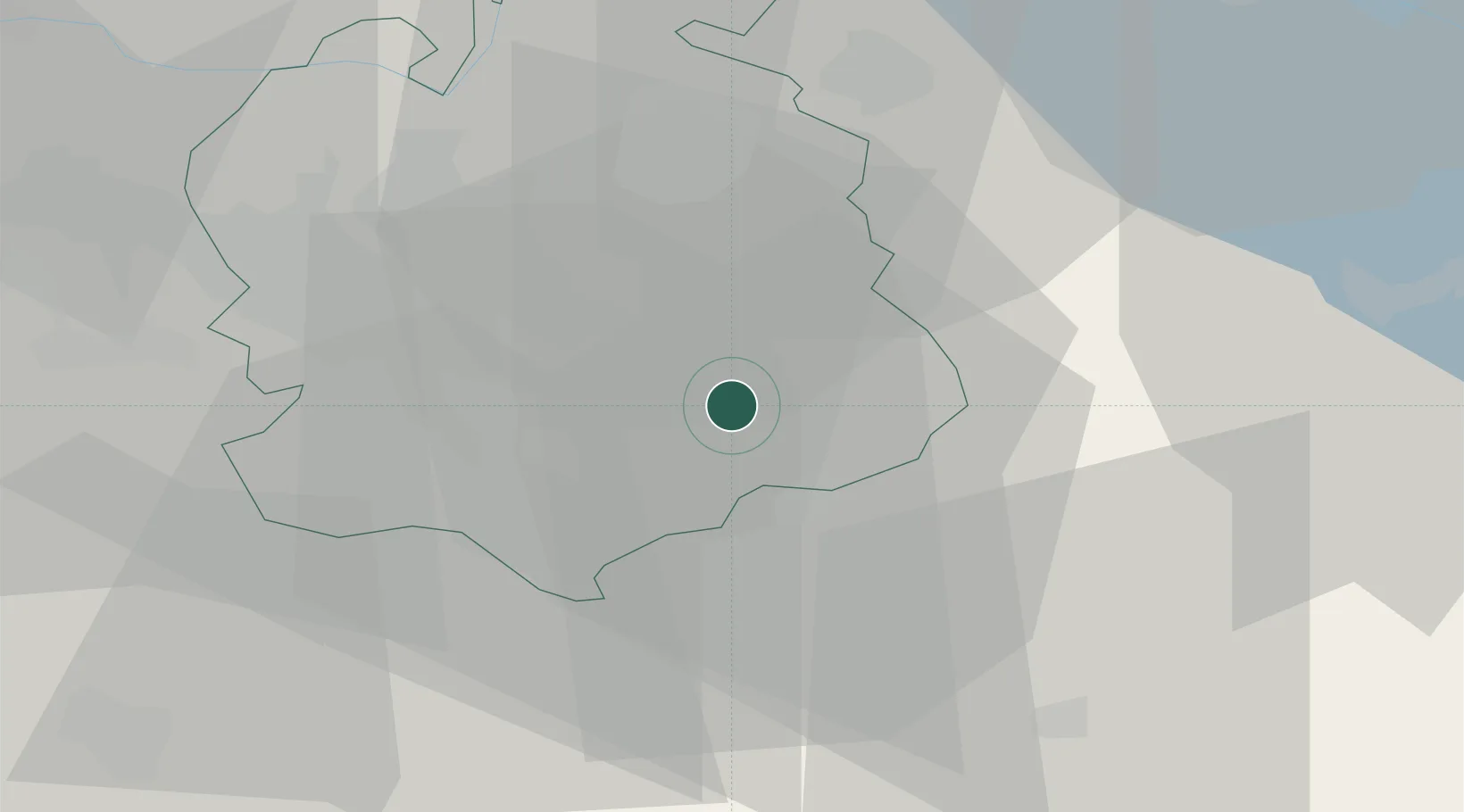
Location
Nearby Logistics Neighbours
Cities
- 1Seegraeben2 km
- 2Wolfhausen6 km
- 3Hadlikon6 km
- 4Uster7 km
- 5Egg8 km
Ports
- 1Genova325 km
- 2Savona334 km
- 3Chiavari - Lavagna338 km
- 4Rada Di Vado340 km
- 5Porto Di Lido-Venezia351 km
Airports
- 1Dübendorf Air Base14 km
- 2Zürich Airport24 km
- 3Emmen Air Base44 km
- 4Alpnach Air Base56 km
- 5Sankt Gallen Altenrhein Airport61 km
Trade Zones
- 1ZFU Mulhouse119 km
- 2Livigno Free Trade Zone133 km
- 3ZFU Montbéliard152 km
- 4ZFU Belfort153 km
- 5ZFU Neuhof156 km
DatabookThe Record of Consolidated Knowledge
Switzerland beyond logistics?