Transport Functions
Rail
Road
Hub Profile
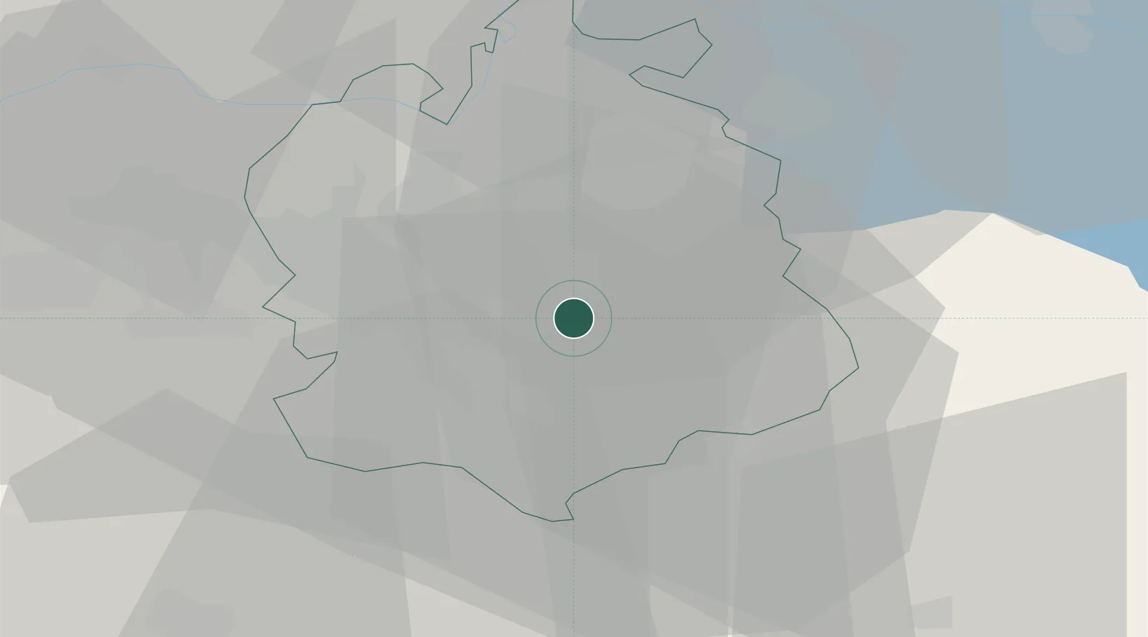
Region
ZH
Location
Nearby Logistics Neighbours
Cities
- 1Maur4 km
- 2Uster4 km
- 3Fehraltorf5 km
- 4Dübendorf6 km
- 5Waltikon6 km
Ports
- 1Genova331 km
- 2Savona339 km
- 3Chiavari - Lavagna344 km
- 4Rada Di Vado345 km
- 5Porto Di Lido-Venezia360 km
Airports
- 1Dübendorf Air Base4 km
- 2Zürich Airport14 km
- 3Emmen Air Base42 km
- 4Alpnach Air Base56 km
- 5Sankt Gallen Altenrhein Airport67 km
Trade Zones
- 1ZFU Mulhouse110 km
- 2Livigno Free Trade Zone142 km
- 3ZFU Montbéliard144 km
- 4ZFU Belfort144 km
- 5ZFU Neuhof147 km
DatabookThe Record of Consolidated Knowledge
Switzerland beyond logistics?