Transport Functions
Multimodal
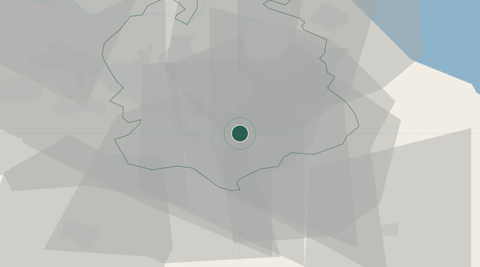
Hub Profile
Place type
Populated place
Region
Zurich
Population
8,829
Time zone
Europe/Zurich
Elevation
548 m
Location
Nearby Logistics Neighbours
Cities
- 1Maur4 km
- 2Uster4 km
- 3Uetikon am See4 km
- 4Meilen4 km
- 5Feldmeilen5 km
Ports
- 1Genova323 km
- 2Savona332 km
- 3Chiavari - Lavagna337 km
- 4Rada Di Vado338 km
- 5Porto Di Lido-Venezia356 km
Airports
- 1Dübendorf Air Base11 km
- 2Zürich Airport20 km
- 3Emmen Air Base37 km
- 4Alpnach Air Base50 km
- 5Sankt Gallen Altenrhein Airport69 km
Trade Zones
- 1ZFU Mulhouse113 km
- 2Livigno Free Trade Zone137 km
- 3ZFU Montbéliard145 km
- 4ZFU Belfort146 km
- 5ZFU Neuhof154 km
DatabookThe Record of Consolidated Knowledge
Switzerland beyond logistics?