Transport Functions
Rail
Road
Hub Profile
Place type
Populated place
Region
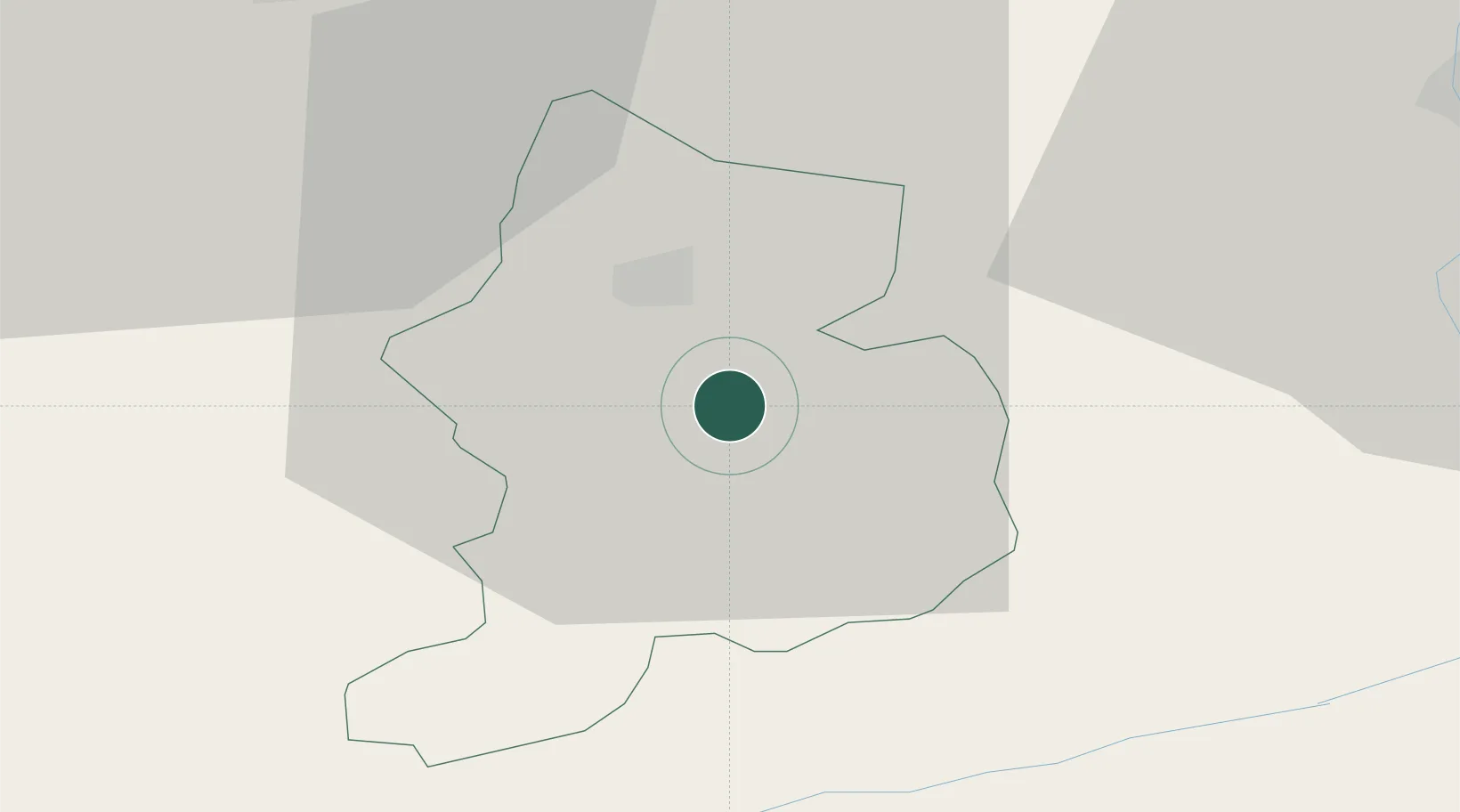
Glarus
Population
2,541
Time zone
Europe/Zurich
Elevation
521 m
Location
Nearby Logistics Neighbours
Cities
- 1Mitlödi2 km
- 2Näfels11 km
- 3Bilten17 km
- 4Schübelbach22 km
- 5Unteriberg23 km
Ports
- 1Genova290 km
- 2Chiavari - Lavagna300 km
- 3Savona302 km
- 4Rada Di Vado308 km
- 5Porto Di Lido-Venezia312 km
Airports
- 1Dübendorf Air Base55 km
- 2Emmen Air Base60 km
- 3Alpnach Air Base61 km
- 4Sankt Gallen Altenrhein Airport65 km
- 5Zürich Airport65 km
Trade Zones
- 1Livigno Free Trade Zone93 km
- 2Magazzini Generali Con Chiasso129 km
- 3ZFU Mulhouse156 km
- 4ZFU Montbéliard182 km
- 5ZFU Belfort186 km
DatabookThe Record of Consolidated Knowledge
Switzerland beyond logistics?