Transport Functions
Port
Rail
Road
Hub Profile
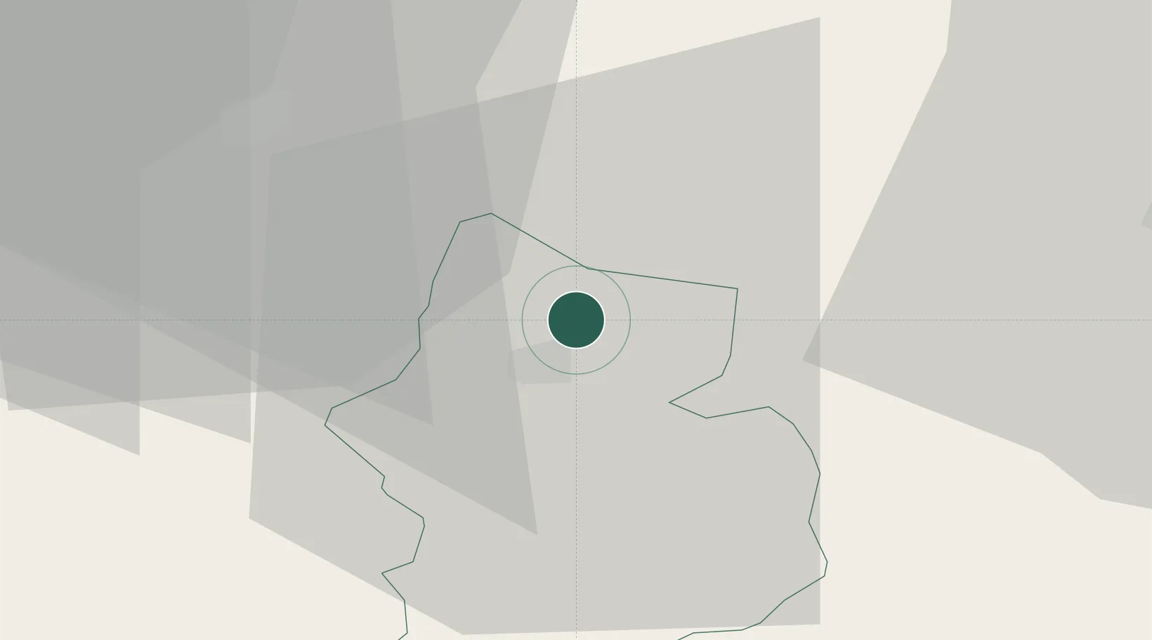
Place type
Populated place
Region
Glarus
Population
3,978
Time zone
Europe/Zurich
Elevation
437 m
Location
Nearby Logistics Neighbours
Cities
- 1Bilten7 km
- 2Mitlödi9 km
- 3Schwanden11 km
- 4Schübelbach13 km
- 5Gommiswald14 km
Ports
- 1Genova301 km
- 2Chiavari - Lavagna311 km
- 3Savona313 km
- 4Rada Di Vado319 km
- 5Porto Di Lido-Venezia319 km
Airports
- 1Dübendorf Air Base46 km
- 2Zürich Airport56 km
- 3Sankt Gallen Altenrhein Airport57 km
- 4Emmen Air Base58 km
- 5Alpnach Air Base62 km
Trade Zones
- 1Livigno Free Trade Zone101 km
- 2Magazzini Generali Con Chiasso140 km
- 3ZFU Mulhouse149 km
- 4ZFU Montbéliard178 km
- 5ZFU Belfort181 km
DatabookThe Record of Consolidated Knowledge
Switzerland beyond logistics?