Transport Functions
Rail
Road
Hub Profile
Region
GL
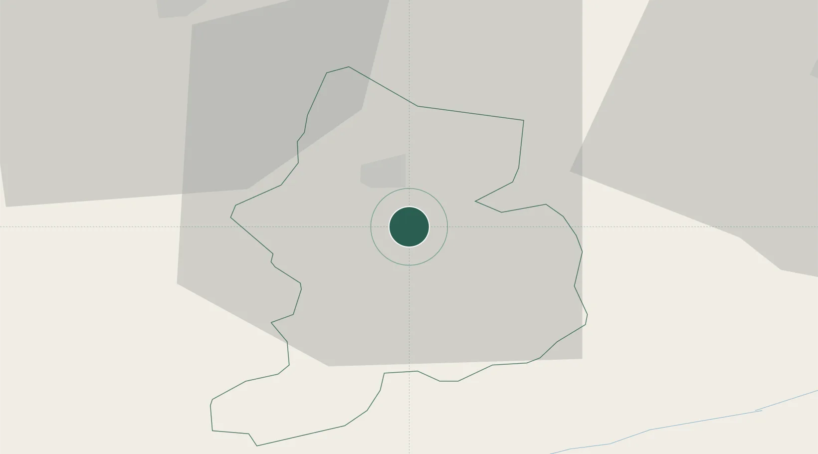
Location
Nearby Logistics Neighbours
Cities
- 1Schwanden2 km
- 2Näfels9 km
- 3Bilten15 km
- 4Schübelbach20 km
- 5Unteriberg22 km
Ports
- 1Genova291 km
- 2Chiavari - Lavagna302 km
- 3Savona303 km
- 4Rada Di Vado310 km
- 5Porto Di Lido-Venezia314 km
Airports
- 1Dübendorf Air Base53 km
- 2Emmen Air Base58 km
- 3Alpnach Air Base60 km
- 4Zürich Airport63 km
- 5Sankt Gallen Altenrhein Airport64 km
Trade Zones
- 1Livigno Free Trade Zone95 km
- 2Magazzini Generali Con Chiasso131 km
- 3ZFU Mulhouse154 km
- 4ZFU Montbéliard180 km
- 5ZFU Belfort184 km
DatabookThe Record of Consolidated Knowledge
Switzerland beyond logistics?