Transport Functions
Rail
Road
Hub Profile
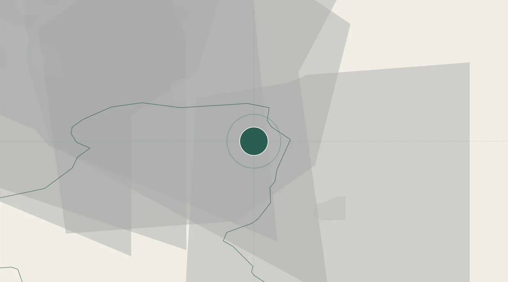
Place type
Populated place
Region
Schwyz
Population
7,745
Time zone
Europe/Zurich
Elevation
429 m
Location
Nearby Logistics Neighbours
Cities
- 1Tuggen4 km
- 2Schmerikon6 km
- 3Uznach6 km
- 4Lachen7 km
- 5Bilten7 km
Ports
- 1Genova308 km
- 2Savona319 km
- 3Chiavari - Lavagna320 km
- 4Rada Di Vado325 km
- 5Porto Di Lido-Venezia332 km
Airports
- 1Dübendorf Air Base34 km
- 2Zürich Airport44 km
- 3Emmen Air Base48 km
- 4Alpnach Air Base55 km
- 5Sankt Gallen Altenrhein Airport59 km
Trade Zones
- 1Livigno Free Trade Zone113 km
- 2ZFU Mulhouse136 km
- 3Magazzini Generali Con Chiasso147 km
- 4ZFU Montbéliard166 km
- 5ZFU Belfort169 km
DatabookThe Record of Consolidated Knowledge
Switzerland beyond logistics?