Transport Functions
Rail
Road
Multimodal
Hub Profile
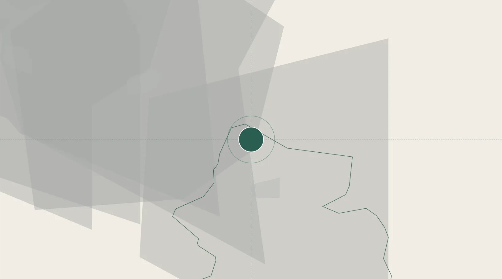
Place type
Populated place
Region
Glarus
Population
2,011
Time zone
Europe/Zurich
Elevation
422 m
Location
Nearby Logistics Neighbours
Cities
- 1Schübelbach7 km
- 2Näfels7 km
- 3Gommiswald7 km
- 4Uznach8 km
- 5Tuggen8 km
Ports
- 1Genova306 km
- 2Chiavari - Lavagna317 km
- 3Savona318 km
- 4Rada Di Vado324 km
- 5Porto Di Lido-Venezia326 km
Airports
- 1Dübendorf Air Base39 km
- 2Zürich Airport49 km
- 3Emmen Air Base54 km
- 4Sankt Gallen Altenrhein Airport55 km
- 5Alpnach Air Base60 km
Trade Zones
- 1Livigno Free Trade Zone107 km
- 2ZFU Mulhouse143 km
- 3Magazzini Generali Con Chiasso145 km
- 4ZFU Montbéliard173 km
- 5ZFU Belfort175 km
DatabookThe Record of Consolidated Knowledge
Switzerland beyond logistics?