Transport Functions
Multimodal
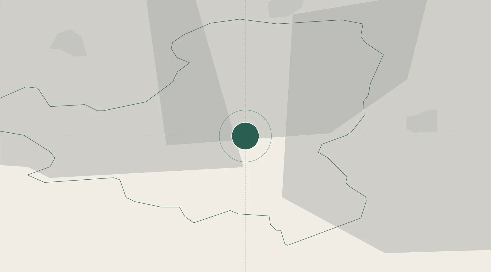
Hub Profile
Place type
Populated place
Region
Schwyz
Population
2,307
Time zone
Europe/Zurich
Elevation
922 m
Location
Nearby Logistics Neighbours
Ports
- 1Genova295 km
- 2Savona305 km
- 3Chiavari - Lavagna308 km
- 4Rada Di Vado311 km
- 5Porto Di Lido-Venezia334 km
Airports
- 1Emmen Air Base37 km
- 2Alpnach Air Base40 km
- 3Dübendorf Air Base40 km
- 4Zürich Airport49 km
- 5Sankt Gallen Altenrhein Airport76 km
Trade Zones
- 1Livigno Free Trade Zone116 km
- 2ZFU Mulhouse134 km
- 3Magazzini Generali Con Chiasso135 km
- 4ZFU Montbéliard159 km
- 5ZFU Belfort163 km
DatabookThe Record of Consolidated Knowledge
Switzerland beyond logistics?