Transport Functions
Rail
Road
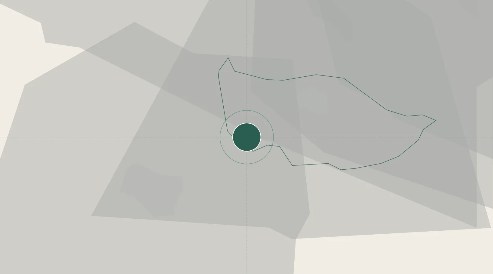
Hub Profile
Place type
Populated place
Region
Zug
Population
10,439
Time zone
Europe/Zurich
Elevation
430 m
Location
Nearby Logistics Neighbours
Cities
- 1Udligenswil5 km
- 2Immensee5 km
- 3Perlen5 km
- 4Cham6 km
- 5Root7 km
Ports
- 1Genova307 km
- 2Savona313 km
- 3Rada Di Vado319 km
- 4Chiavari - Lavagna322 km
- 5La Spezia354 km
Airports
- 1Emmen Air Base11 km
- 2Alpnach Air Base24 km
- 3Dübendorf Air Base34 km
- 4Zürich Airport37 km
- 5Bern Airport75 km
Trade Zones
- 1ZFU Mulhouse107 km
- 2ZFU Montbéliard131 km
- 3ZFU Belfort135 km
- 4Livigno Free Trade Zone143 km
- 5Magazzini Generali Con Chiasso149 km
DatabookThe Record of Consolidated Knowledge
Switzerland beyond logistics?