Transport Functions
Rail
Road
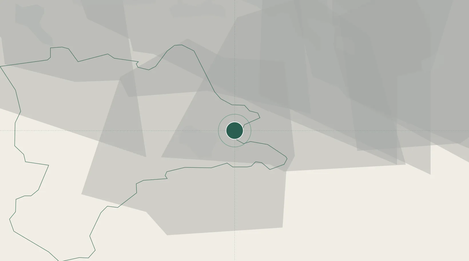
Hub Profile
Place type
Populated place
Region
Lucerne
Population
3,886
Time zone
Europe/Zurich
Elevation
426 m
Location
Nearby Logistics Neighbours
Cities
- 1Udligenswil2 km
- 2Perlen4 km
- 3Küssnacht am Rigi4 km
- 4Mels5 km
- 5Emmen6 km
Ports
- 1Genova302 km
- 2Savona308 km
- 3Rada Di Vado313 km
- 4Chiavari - Lavagna318 km
- 5La Spezia350 km
Airports
- 1Emmen Air Base6 km
- 2Alpnach Air Base17 km
- 3Dübendorf Air Base40 km
- 4Zürich Airport44 km
- 5Bern Airport70 km
Trade Zones
- 1ZFU Mulhouse108 km
- 2ZFU Montbéliard129 km
- 3ZFU Belfort134 km
- 4Magazzini Generali Con Chiasso144 km
- 5Livigno Free Trade Zone144 km
DatabookThe Record of Consolidated Knowledge
Switzerland beyond logistics?