Transport Functions
Multimodal
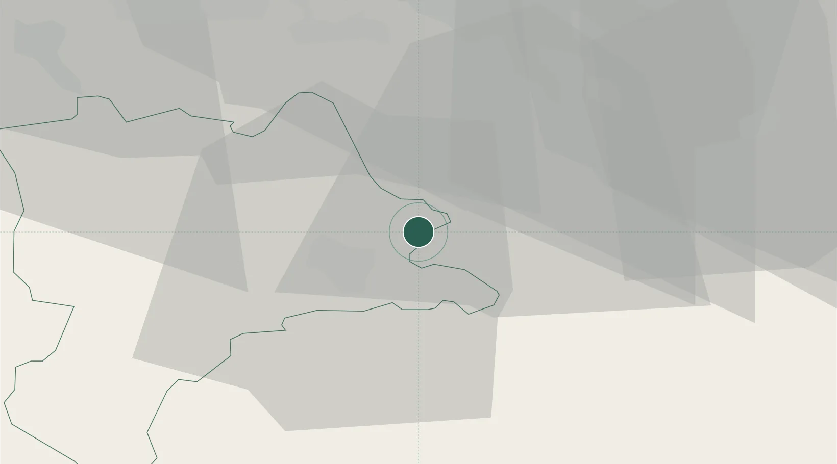
Hub Profile
Place type
Populated place
Region
Lucerne
Population
2,252
Time zone
Europe/Zurich
Elevation
621 m
Location
Nearby Logistics Neighbours
Cities
- 1Root2 km
- 2Perlen3 km
- 3Rotkreuz5 km
- 4Küssnacht am Rigi5 km
- 5Immensee5 km
Ports
- 1Genova303 km
- 2Savona310 km
- 3Rada Di Vado315 km
- 4Chiavari - Lavagna319 km
- 5La Spezia352 km
Airports
- 1Emmen Air Base7 km
- 2Alpnach Air Base20 km
- 3Dübendorf Air Base38 km
- 4Zürich Airport41 km
- 5Bern Airport71 km
Trade Zones
- 1ZFU Mulhouse108 km
- 2ZFU Montbéliard130 km
- 3ZFU Belfort135 km
- 4Livigno Free Trade Zone144 km
- 5Magazzini Generali Con Chiasso146 km
DatabookThe Record of Consolidated Knowledge
Switzerland beyond logistics?