Transport Functions
Port
Rail
Road
Hub Profile
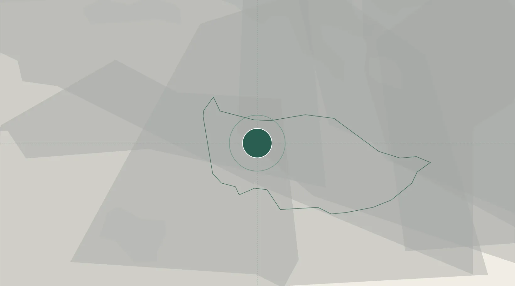
Place type
Populated place
Region
Zug
Population
16,719
Time zone
Europe/Zurich
Elevation
420 m
Location
Nearby Logistics Neighbours
Cities
- 1Steinhausen2 km
- 2Knonau6 km
- 3Rotkreuz6 km
- 4Sihlbrugg Dorf8 km
- 5Edlibach9 km
Ports
- 1Genova312 km
- 2Savona319 km
- 3Rada Di Vado325 km
- 4Chiavari - Lavagna327 km
- 5La Spezia359 km
Airports
- 1Emmen Air Base16 km
- 2Dübendorf Air Base28 km
- 3Alpnach Air Base30 km
- 4Zürich Airport31 km
- 5Bern Airport79 km
Trade Zones
- 1ZFU Mulhouse106 km
- 2ZFU Montbéliard132 km
- 3ZFU Belfort135 km
- 4Livigno Free Trade Zone144 km
- 5Magazzini Generali Con Chiasso153 km
DatabookThe Record of Consolidated Knowledge
Switzerland beyond logistics?