Transport Functions
Multimodal
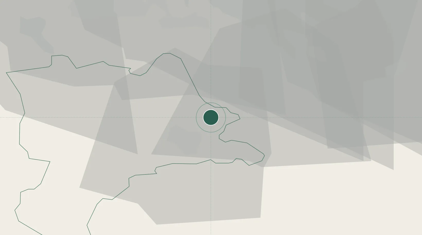
Hub Profile
Place type
Populated place
Region
Lucerne
Time zone
Europe/Zurich
Elevation
413 m
Location
Nearby Logistics Neighbours
Cities
- 1Udligenswil3 km
- 2Root4 km
- 3Ballwil5 km
- 4Rotkreuz5 km
- 5Emmen6 km
Ports
- 1Genova305 km
- 2Savona312 km
- 3Rada Di Vado317 km
- 4Chiavari - Lavagna321 km
- 5La Spezia354 km
Airports
- 1Emmen Air Base5 km
- 2Alpnach Air Base20 km
- 3Dübendorf Air Base38 km
- 4Zürich Airport40 km
- 5Bern Airport70 km
Trade Zones
- 1ZFU Mulhouse105 km
- 2ZFU Montbéliard127 km
- 3ZFU Belfort131 km
- 4PESA - Port-Franc et Entrepôts de Lausanne-Chavornay SA144 km
- 5Livigno Free Trade Zone147 km
DatabookThe Record of Consolidated Knowledge
Switzerland beyond logistics?