Transport Functions
Rail
Road
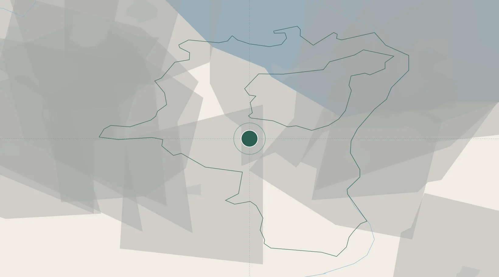
Hub Profile
Place type
Populated place
Region
Saint Gallen
Time zone
Europe/Zurich
Elevation
759 m
Location
Nearby Logistics Neighbours
Cities
- 1Ebnat-Kappel8 km
- 2Wattwil13 km
- 3Gommiswald14 km
- 4Lichtensteig14 km
- 5Bilten16 km
Ports
- 1Genova314 km
- 2Porto Di Lido-Venezia319 km
- 3Chiavari - Lavagna324 km
- 4Porto Di Chioggia325 km
- 5Savona327 km
Airports
- 1Sankt Gallen Altenrhein Airport40 km
- 2Dübendorf Air Base46 km
- 3Bodensee Airport Friedrichshafen56 km
- 4Zürich Airport56 km
- 5Emmen Air Base69 km
Trade Zones
- 1Livigno Free Trade Zone102 km
- 2ZFU Mulhouse152 km
- 3Magazzini Generali Con Chiasso154 km
- 4ZFU Neuhof182 km
- 5ZFU Montbéliard185 km
DatabookThe Record of Consolidated Knowledge
Switzerland beyond logistics?