UN/LOCODE hub · Switzerland
CHEKP
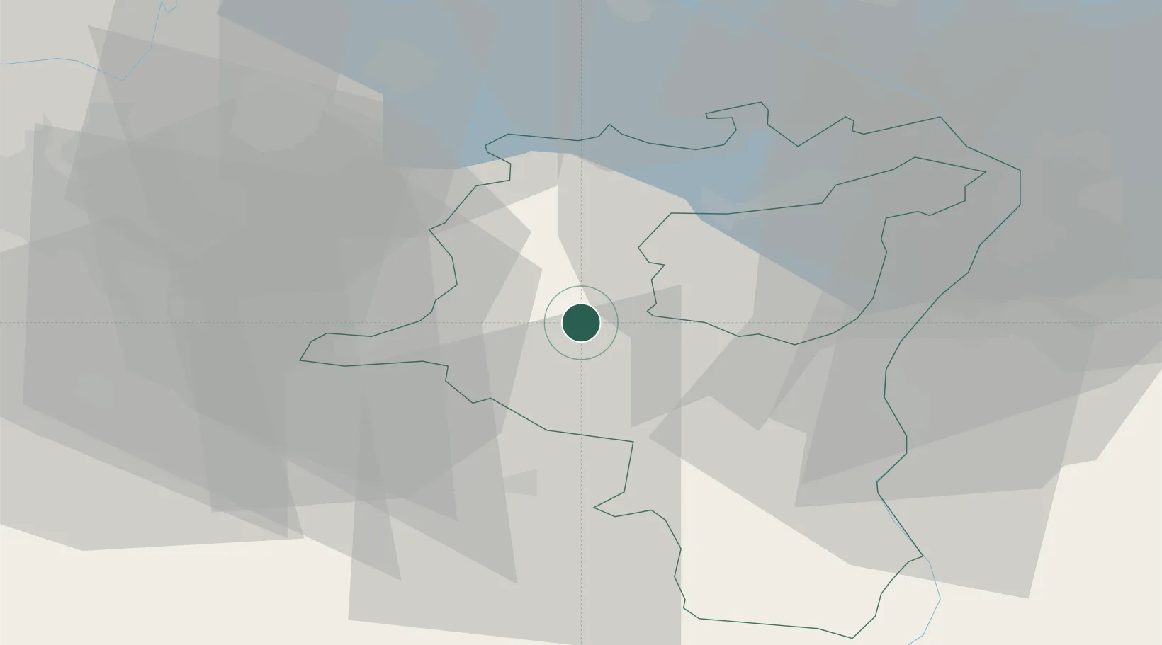
Ebnat-Kappel
47.2667°, 9.1167°
4,852
Population
2
Transport functions
Transport Functions
Rail
Road
Hub Profile
Place type
Populated place
Region
Saint Gallen
Population
4,852
Time zone
Europe/Zurich
Elevation
630 m
Location
Nearby Logistics Neighbours
Cities
- 1Wattwil5 km
- 2Lichtensteig6 km
- 3Nesslau8 km
- 4Gommiswald9 km
- 5Bütschwil10 km
Ports
- 1Genova319 km
- 2Porto Di Lido-Venezia327 km
- 3Chiavari - Lavagna330 km
- 4Savona332 km
- 5Porto Di Chioggia333 km
Airports
- 1Dübendorf Air Base38 km
- 2Sankt Gallen Altenrhein Airport41 km
- 3Zürich Airport48 km
- 4Bodensee Airport Friedrichshafen54 km
- 5Emmen Air Base64 km
Trade Zones
- 1Livigno Free Trade Zone111 km
- 2ZFU Mulhouse144 km
- 3Magazzini Generali Con Chiasso159 km
- 4ZFU Neuhof174 km
- 5ZFU Montbéliard177 km
DatabookThe Record of Consolidated Knowledge
Switzerland beyond logistics?