Transport Functions
Multimodal
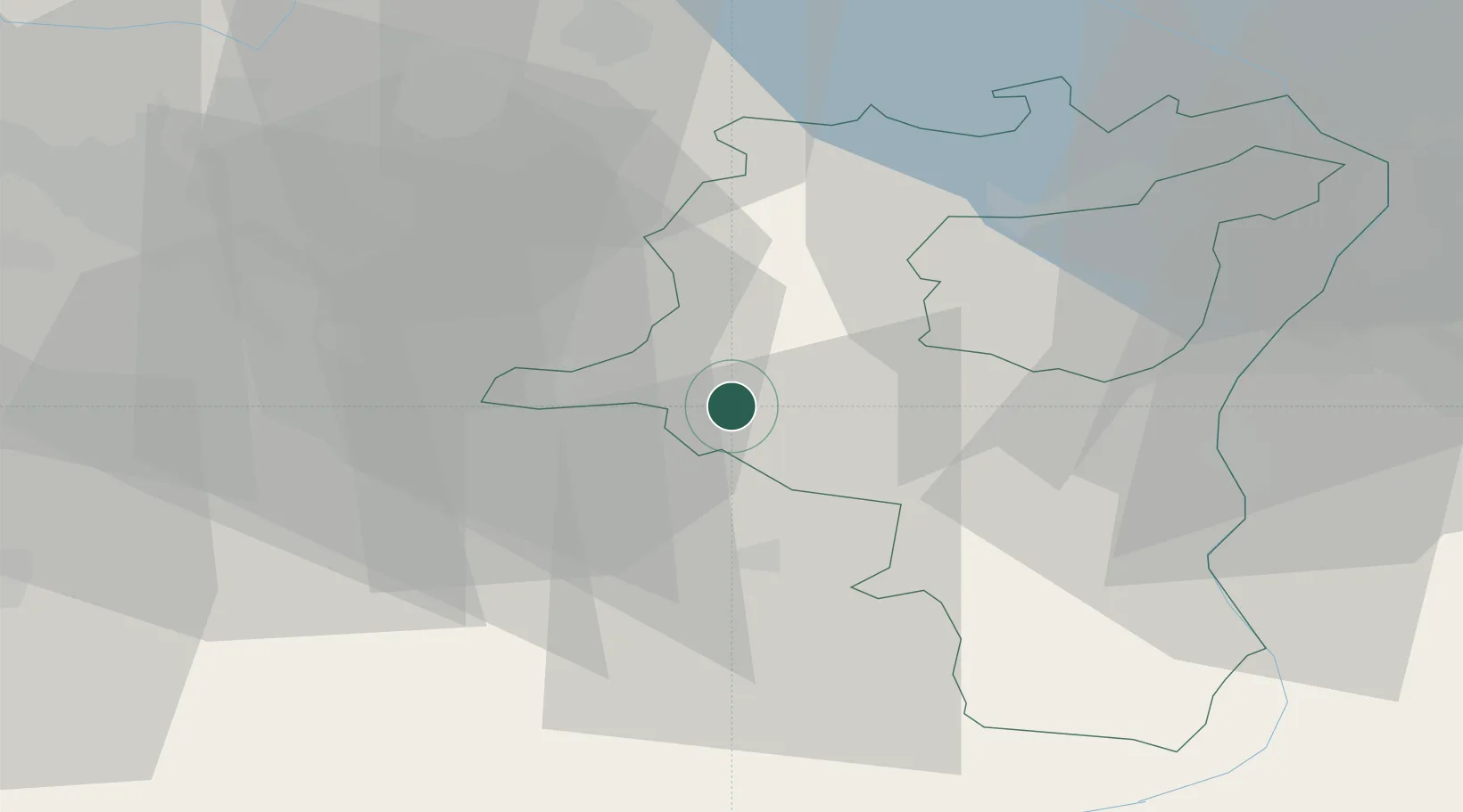
Hub Profile
Place type
Populated place
Region
Saint Gallen
Population
2,781
Time zone
Europe/Zurich
Elevation
590 m
Location
Nearby Logistics Neighbours
Cities
- 1Uznach4 km
- 2Schmerikon6 km
- 3Schmerikon7 km
- 4Tuggen7 km
- 5Goldingen7 km
Ports
- 1Genova314 km
- 2Chiavari - Lavagna325 km
- 3Savona325 km
- 4Porto Di Lido-Venezia330 km
- 5Rada Di Vado331 km
Airports
- 1Dübendorf Air Base34 km
- 2Zürich Airport44 km
- 3Sankt Gallen Altenrhein Airport51 km
- 4Emmen Air Base56 km
- 5Bodensee Airport Friedrichshafen63 km
Trade Zones
- 1Livigno Free Trade Zone112 km
- 2ZFU Mulhouse140 km
- 3Magazzini Generali Con Chiasso153 km
- 4ZFU Montbéliard171 km
- 5ZFU Belfort173 km
DatabookThe Record of Consolidated Knowledge
Switzerland beyond logistics?