Transport Functions
Rail
Road
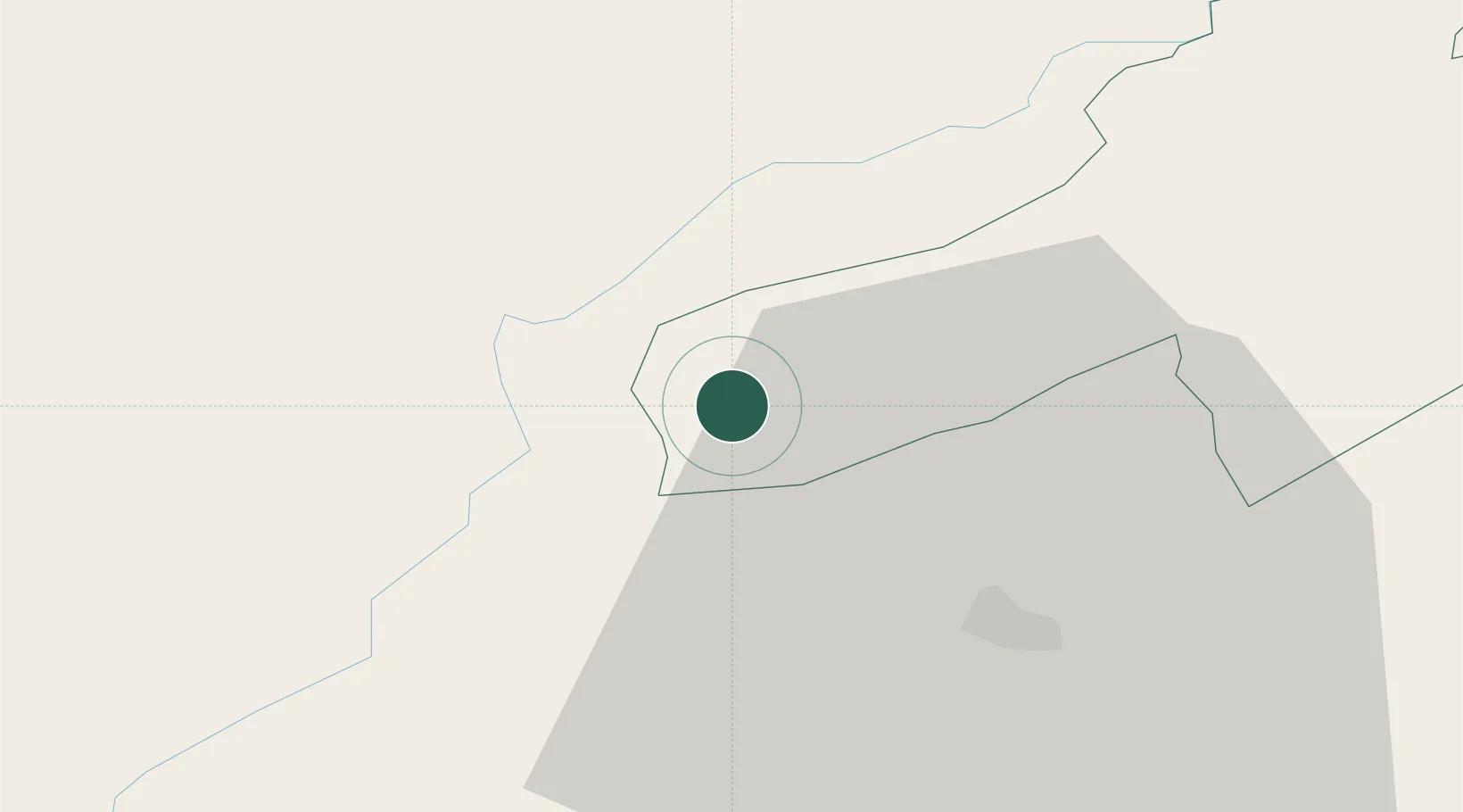
Hub Profile
Place type
Populated place
Region
Neuchâtel
Population
736
Time zone
Europe/Zurich
Elevation
932 m
Location
Nearby Logistics Neighbours
Cities
- 1Fleurier8 km
- 2La Cluse-et-Mijoux8 km
- 3Lièvremont8 km
- 4Môtiers9 km
- 5Sainte Croix9 km
Ports
- 1Savona327 km
- 2Rada Di Vado331 km
- 3Genova337 km
- 4Imperia357 km
- 5San Remo358 km
Airports
- 1Les Eplatures Airport31 km
- 2Payerne Air Base33 km
- 3Montbéliard-Courcelles Airfield69 km
- 4Bern Airport77 km
- 5Grenchen Airfield77 km
Trade Zones
DatabookThe Record of Consolidated Knowledge
Switzerland beyond logistics?