Transport Functions
Port
Road
Hub Profile
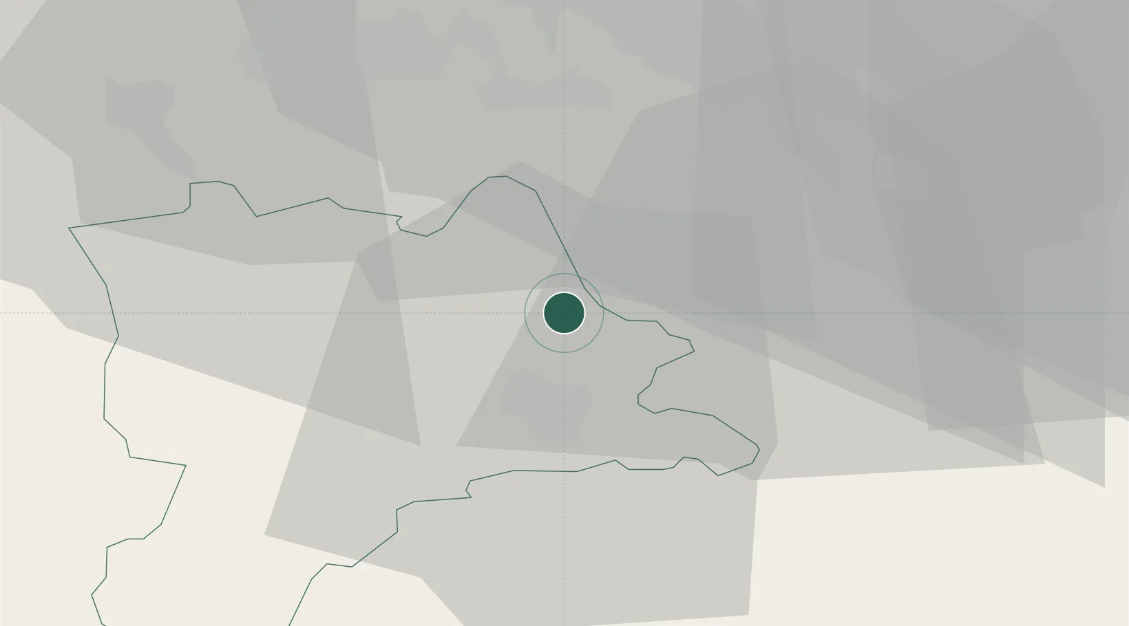
Place type
Populated place
Region
Lucerne
Population
2,284
Time zone
Europe/Zurich
Elevation
502 m
Location
Nearby Logistics Neighbours
Cities
- 1Perlen5 km
- 2Emmen8 km
- 3Lucerne8 km
- 4Udligenswil8 km
- 5Root9 km
Ports
- 1Genova310 km
- 2Savona315 km
- 3Rada Di Vado321 km
- 4Chiavari - Lavagna326 km
- 5La Spezia359 km
Airports
- 1Emmen Air Base7 km
- 2Alpnach Air Base23 km
- 3Dübendorf Air Base37 km
- 4Zürich Airport38 km
- 5Bern Airport67 km
Trade Zones
- 1ZFU Mulhouse99 km
- 2ZFU Montbéliard122 km
- 3ZFU Belfort126 km
- 4PESA - Port-Franc et Entrepôts de Lausanne-Chavornay SA142 km
- 5Livigno Free Trade Zone152 km
DatabookThe Record of Consolidated Knowledge
Switzerland beyond logistics?