Transport Functions
Multimodal
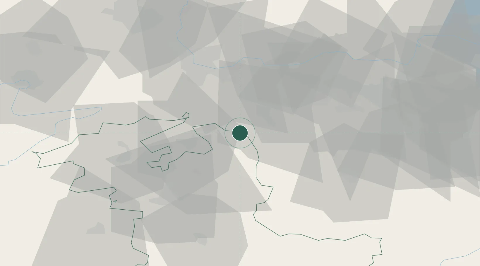
Hub Profile
Place type
Populated place
Region
Bern
Population
1,610
Time zone
Europe/Zurich
Elevation
448 m
Location
Nearby Logistics Neighbours
Cities
- 1Roggwil2 km
- 2Kestenholz4 km
- 3Niederbuchsiten5 km
- 4Gunzgen8 km
- 5Lotzwil8 km
Ports
- 1Genova329 km
- 2Savona331 km
- 3Rada Di Vado336 km
- 4Chiavari - Lavagna348 km
- 5Imperia375 km
Airports
- 1Grenchen Airfield30 km
- 2Emmen Air Base42 km
- 3Bern Airport44 km
- 4EuroAirport Basel–Mulhouse–Freiburg44 km
- 5Alpnach Air Base50 km
Trade Zones
- 1ZFU Mulhouse66 km
- 2ZFU Montbéliard81 km
- 3ZFU Belfort87 km
- 4PESA - Port-Franc et Entrepôts de Lausanne-Chavornay SA111 km
- 5Port Franc Vevey128 km
DatabookThe Record of Consolidated Knowledge
Switzerland beyond logistics?