Transport Functions
Road
Multimodal
Hub Profile
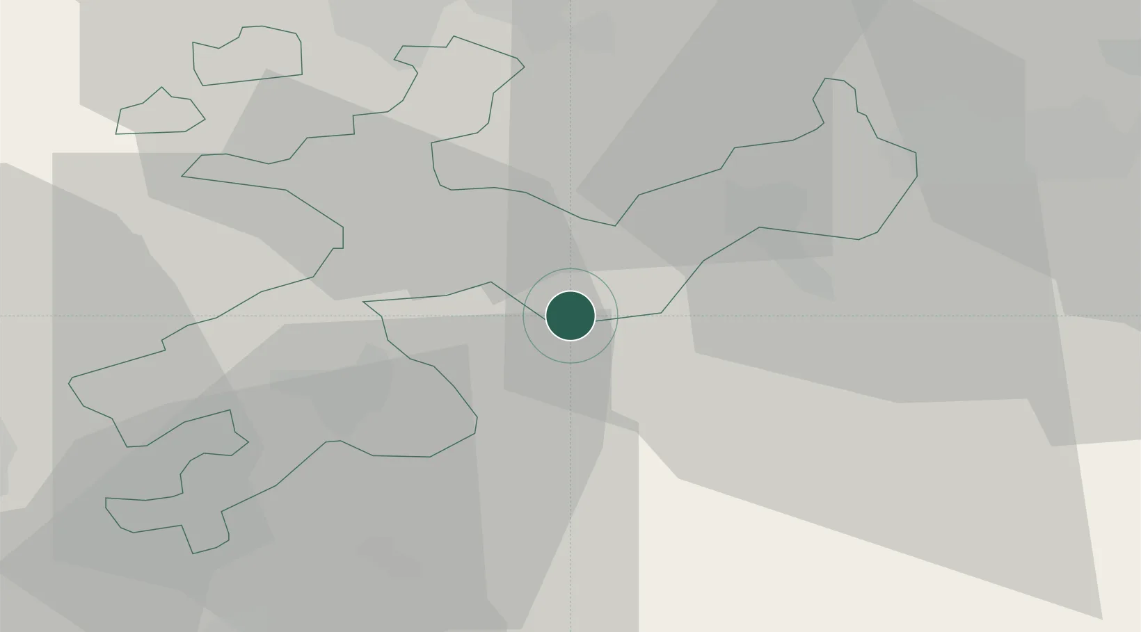
Place type
Populated place
Region
Solothurn
Time zone
Europe/Zurich
Elevation
452 m
Location
Nearby Logistics Neighbours
Cities
- 1Niederbuchsiten2 km
- 2Wynau4 km
- 3Oensingen5 km
- 4Niederbipp5 km
- 5Roggwil6 km
Ports
- 1Genova332 km
- 2Savona333 km
- 3Rada Di Vado338 km
- 4Chiavari - Lavagna351 km
- 5Imperia377 km
Airports
- 1Grenchen Airfield27 km
- 2EuroAirport Basel–Mulhouse–Freiburg41 km
- 3Bern Airport44 km
- 4Emmen Air Base46 km
- 5Alpnach Air Base54 km
Trade Zones
- 1ZFU Mulhouse62 km
- 2ZFU Montbéliard77 km
- 3ZFU Belfort83 km
- 4PESA - Port-Franc et Entrepôts de Lausanne-Chavornay SA109 km
- 5Port Franc Vevey127 km
DatabookThe Record of Consolidated Knowledge
Switzerland beyond logistics?