Transport Functions
Rail
Road
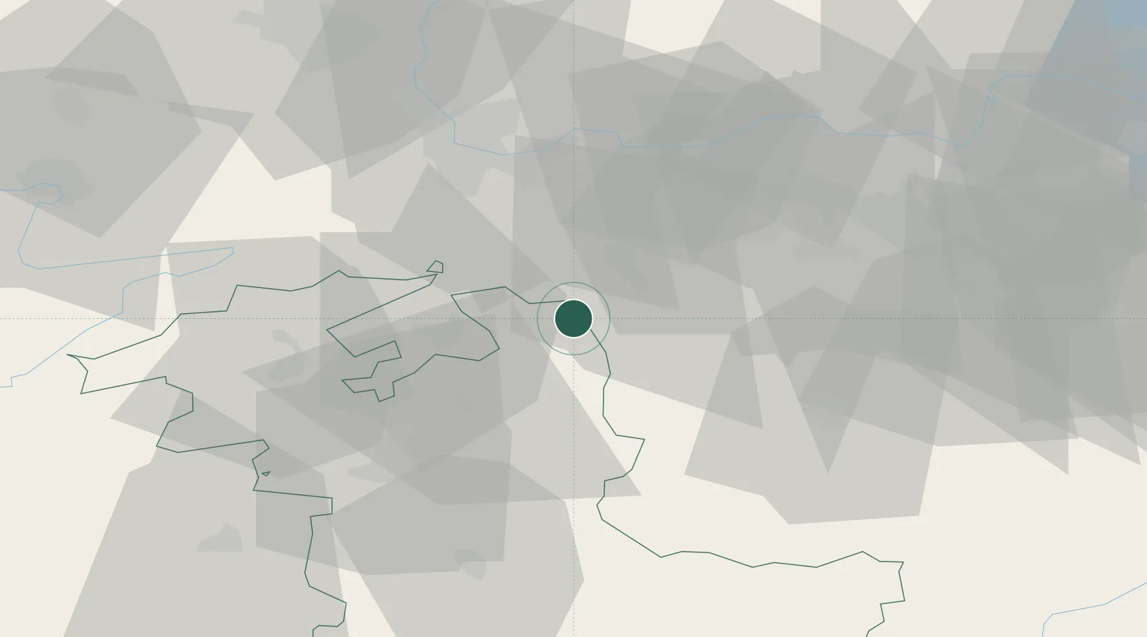
Hub Profile
Place type
Populated place
Region
Bern
Population
3,673
Time zone
Europe/Zurich
Elevation
450 m
Location
Nearby Logistics Neighbours
Cities
- 1Wynau2 km
- 2Lotzwil6 km
- 3Kestenholz6 km
- 4Niederbuchsiten7 km
- 5Gunzgen9 km
Ports
- 1Genova327 km
- 2Savona329 km
- 3Rada Di Vado334 km
- 4Chiavari - Lavagna346 km
- 5Imperia373 km
Airports
- 1Grenchen Airfield31 km
- 2Emmen Air Base40 km
- 3Bern Airport43 km
- 4EuroAirport Basel–Mulhouse–Freiburg47 km
- 5Alpnach Air Base48 km
Trade Zones
- 1ZFU Mulhouse68 km
- 2ZFU Montbéliard83 km
- 3ZFU Belfort89 km
- 4PESA - Port-Franc et Entrepôts de Lausanne-Chavornay SA112 km
- 5Port Franc Vevey128 km
DatabookThe Record of Consolidated Knowledge
Switzerland beyond logistics?