Transport Functions
Port
Multimodal
Hub Profile
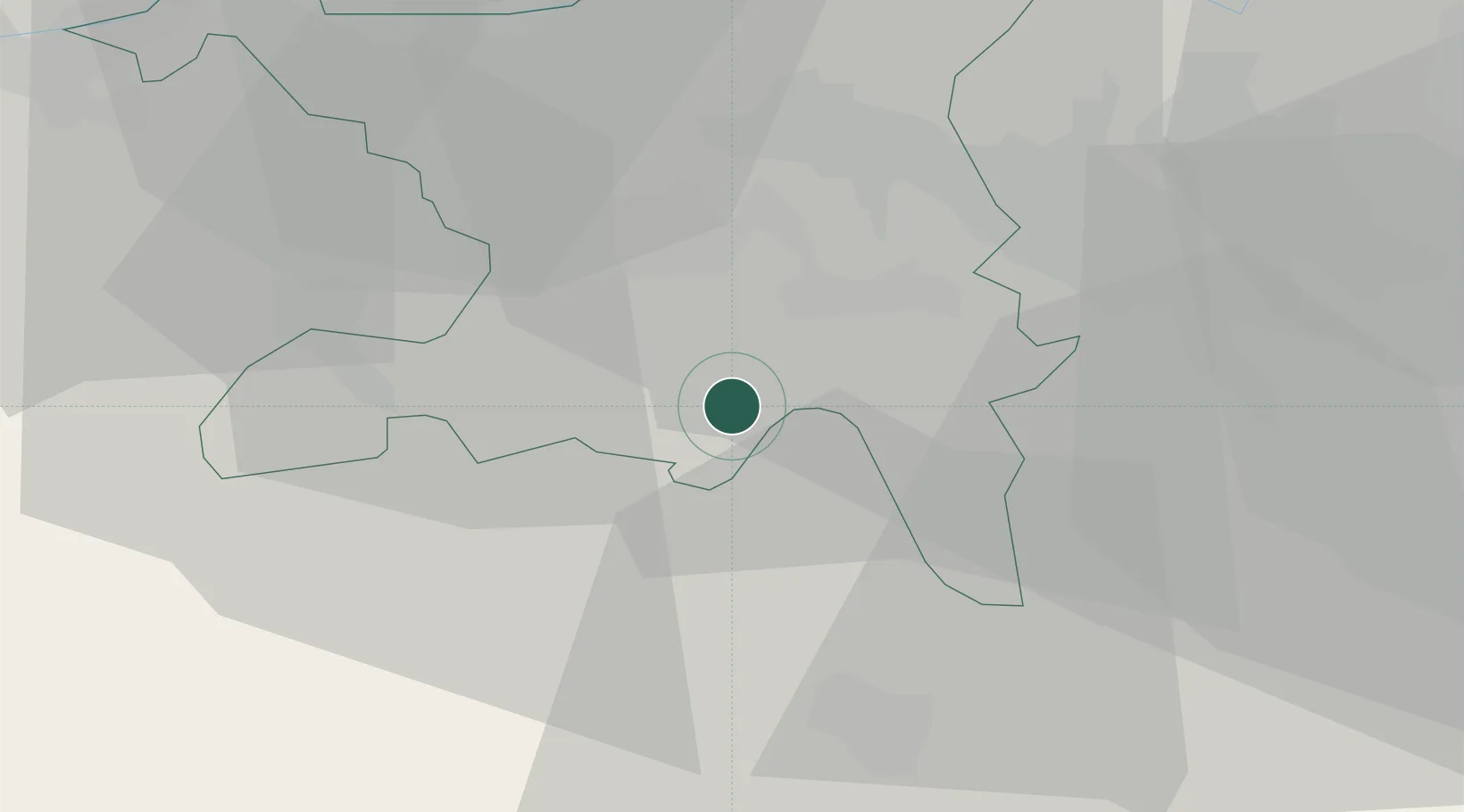
Place type
Populated place
Region
Aargau
Population
953
Time zone
Europe/Zurich
Elevation
540 m
Location
Nearby Logistics Neighbours
Cities
- 1Reinach2 km
- 2Meisterschwanden3 km
- 3Menziken4 km
- 4Aesch4 km
- 5Leutwil5 km
Ports
- 1Genova326 km
- 2Savona331 km
- 3Rada Di Vado336 km
- 4Chiavari - Lavagna343 km
- 5La Spezia376 km
Airports
- 1Emmen Air Base23 km
- 2Zürich Airport33 km
- 3Dübendorf Air Base36 km
- 4Alpnach Air Base38 km
- 5Grenchen Airfield60 km
Trade Zones
- 1ZFU Mulhouse83 km
- 2ZFU Montbéliard109 km
- 3ZFU Belfort112 km
- 4PESA - Port-Franc et Entrepôts de Lausanne-Chavornay SA140 km
- 5ZFU Neuhof144 km
DatabookThe Record of Consolidated Knowledge
Switzerland beyond logistics?