Transport Functions
Rail
Road
Hub Profile
Place type
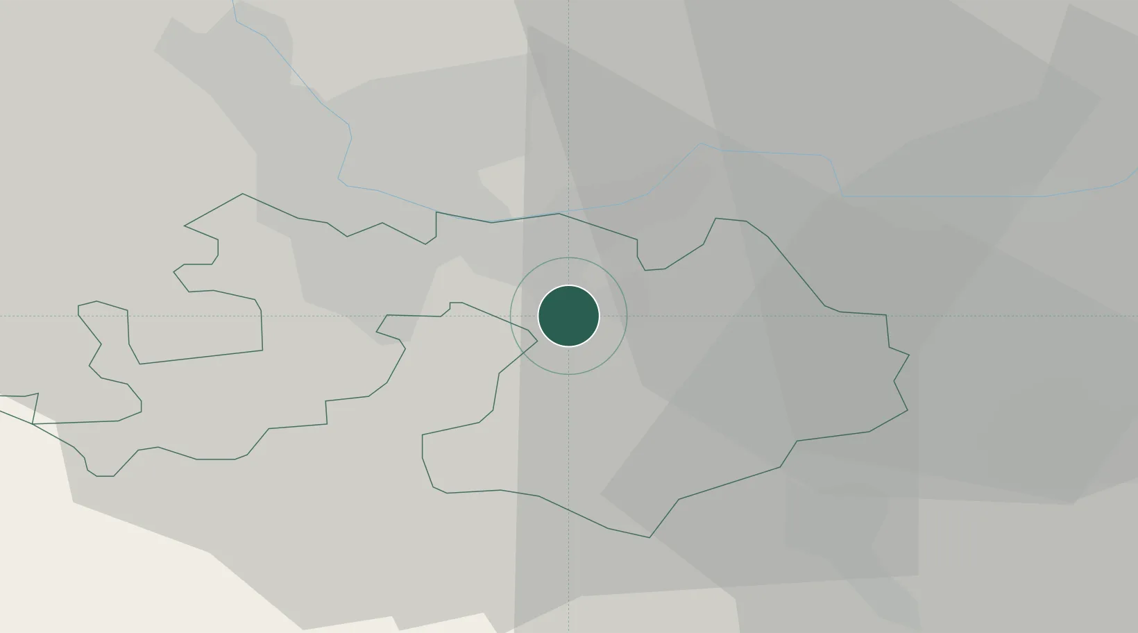
Regional capital
Region
Basel-Landschaft
Population
12,832
Time zone
Europe/Zurich
Elevation
327 m
Location
Nearby Logistics Neighbours
Cities
- 1Füllinsdorf2 km
- 2Frenkendorf4 km
- 3Itingen4 km
- 4Sissach4 km
- 5Kaiseraugst6 km
Ports
- 1Genova355 km
- 2Savona357 km
- 3Rada Di Vado362 km
- 4Chiavari - Lavagna374 km
- 5Imperia401 km
Airports
- 1EuroAirport Basel–Mulhouse–Freiburg21 km
- 2Grenchen Airfield41 km
- 3Emmen Air Base61 km
- 4Zürich Airport61 km
- 5Bern Airport66 km
Trade Zones
- 1ZFU Mulhouse42 km
- 2ZFU Montbéliard71 km
- 3ZFU Belfort72 km
- 4ZFU Neuhof118 km
- 5PESA - Port-Franc et Entrepôts de Lausanne-Chavornay SA124 km
DatabookThe Record of Consolidated Knowledge
Switzerland beyond logistics?