Transport Functions
Multimodal
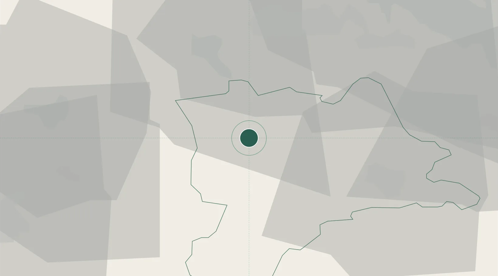
Hub Profile
Place type
Populated place
Region
Lucerne
Population
556
Time zone
Europe/Zurich
Elevation
521 m
Location
Nearby Logistics Neighbours
Ports
- 1Genova314 km
- 2Savona317 km
- 3Rada Di Vado323 km
- 4Chiavari - Lavagna333 km
- 5Imperia363 km
Airports
- 1Emmen Air Base24 km
- 2Alpnach Air Base31 km
- 3Grenchen Airfield44 km
- 4Bern Airport46 km
- 5Zürich Airport54 km
Trade Zones
- 1ZFU Mulhouse83 km
- 2ZFU Montbéliard100 km
- 3ZFU Belfort105 km
- 4PESA - Port-Franc et Entrepôts de Lausanne-Chavornay SA120 km
- 5Port Franc Vevey133 km
DatabookThe Record of Consolidated Knowledge
Switzerland beyond logistics?