UN/LOCODE hub · Switzerland
CHFRA

Fraubrunnen

47.0833°, 7.5167°
1,616
Population
2
Transport functions

Transport Functions

Road
Multimodal
UN/LOCODE

Hub Profile

Place type
Populated place
GeoNames
Region
Bern
GeoNames
Population
1,616
GeoNames
Time zone
Europe/Zurich
GeoNames
Elevation
495 m
GeoNames

Location

Location of CHFRA
Natural Earth 10m (public domain) · Bern · CHFRA · 47.08, 7.52GoogleOSMYandex

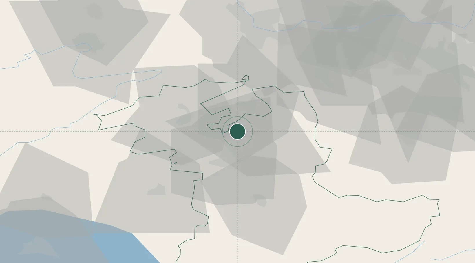
Nearby Logistics Neighbours

Cities
  1. 1Rüdtligen-Alchenflüh4 km
  2. 2Bätterkinden4 km
  3. 3Jegenstorf4 km
  4. 4Kirchberg5 km
  5. 5Hindelbank6 km
Nearest neighbours — logibook spatial index (haversine) over the source coordinates
Ports
  1. 1Savona317 km
  2. 2Genova318 km
  3. 3Rada Di Vado322 km
  4. 4Chiavari - Lavagna339 km
  5. 5Imperia358 km
Nearest neighbours — logibook spatial index (haversine) over the source coordinates
Airports
  1. 1Grenchen Airfield13 km
  2. 2Bern Airport19 km
  3. 3Payerne Air Base53 km
  4. 4Les Eplatures Airport55 km
  5. 5EuroAirport Basel–Mulhouse–Freiburg58 km
Nearest neighbours — logibook spatial index (haversine) over the source coordinates
Trade Zones
  1. 1ZFU Montbéliard72 km
  2. 2ZFU Mulhouse75 km
  3. 3ZFU Belfort82 km
  4. 4PESA - Port-Franc et Entrepôts de Lausanne-Chavornay SA84 km
  5. 5Port Franc Vevey100 km
Nearest neighbours — logibook spatial index (haversine) over the source coordinates
DatabookThe Record of Consolidated Knowledge
Switzerland beyond logistics?
Browse databook

All Sources

LocationsUN/LOCODE
UN/LOCODE — free
LocationsGeoNames
CC BY 4.0
Portsthe NGA World Port Index
Public domain (US gov)
AirportsOurAirports
Public domain
Trade Zonesthe World Bank SEZ database
CC BY 4.0
Trade ZonesOpen Zone Map
CC BY
← Switzerland locations