UN/LOCODE hub · Switzerland
CHBKD
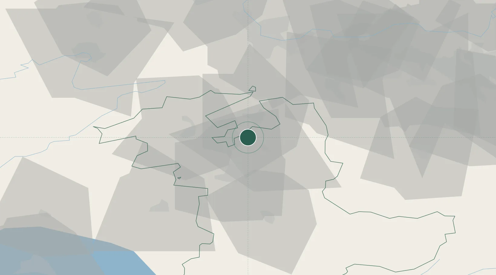
Bätterkinden
47.1167°, 7.5333°
2,748
Population
2
Transport functions
Transport Functions
Rail
Road
Hub Profile
Place type
Populated place
Region
Bern
Population
2,748
Time zone
Europe/Zurich
Elevation
474 m
Location
Nearby Logistics Neighbours
Cities
- 1Utzenstorf2 km
- 2Wiler4 km
- 3Fraubrunnen4 km
- 4Rüdtligen-Alchenflüh5 km
- 5Kirchberg5 km
Ports
- 1Savona320 km
- 2Genova321 km
- 3Rada Di Vado325 km
- 4Chiavari - Lavagna342 km
- 5Imperia362 km
Airports
- 1Grenchen Airfield11 km
- 2Bern Airport23 km
- 3EuroAirport Basel–Mulhouse–Freiburg54 km
- 4Payerne Air Base56 km
- 5Les Eplatures Airport56 km
Trade Zones
- 1ZFU Montbéliard71 km
- 2ZFU Mulhouse72 km
- 3ZFU Belfort80 km
- 4PESA - Port-Franc et Entrepôts de Lausanne-Chavornay SA87 km
- 5Port Franc Vevey103 km
DatabookThe Record of Consolidated Knowledge
Switzerland beyond logistics?