UN/LOCODE hub · Switzerland
CHRAH

Rüdtligen-Alchenflüh

47.0833°, 7.5667°
1
Transport functions

Transport Functions

Multimodal
UN/LOCODE

Hub Profile

Region
BE
GeoNames

Location

Location of CHRAH
Natural Earth 10m (public domain) · BE · CHRAH · 47.08, 7.57GoogleOSMYandex

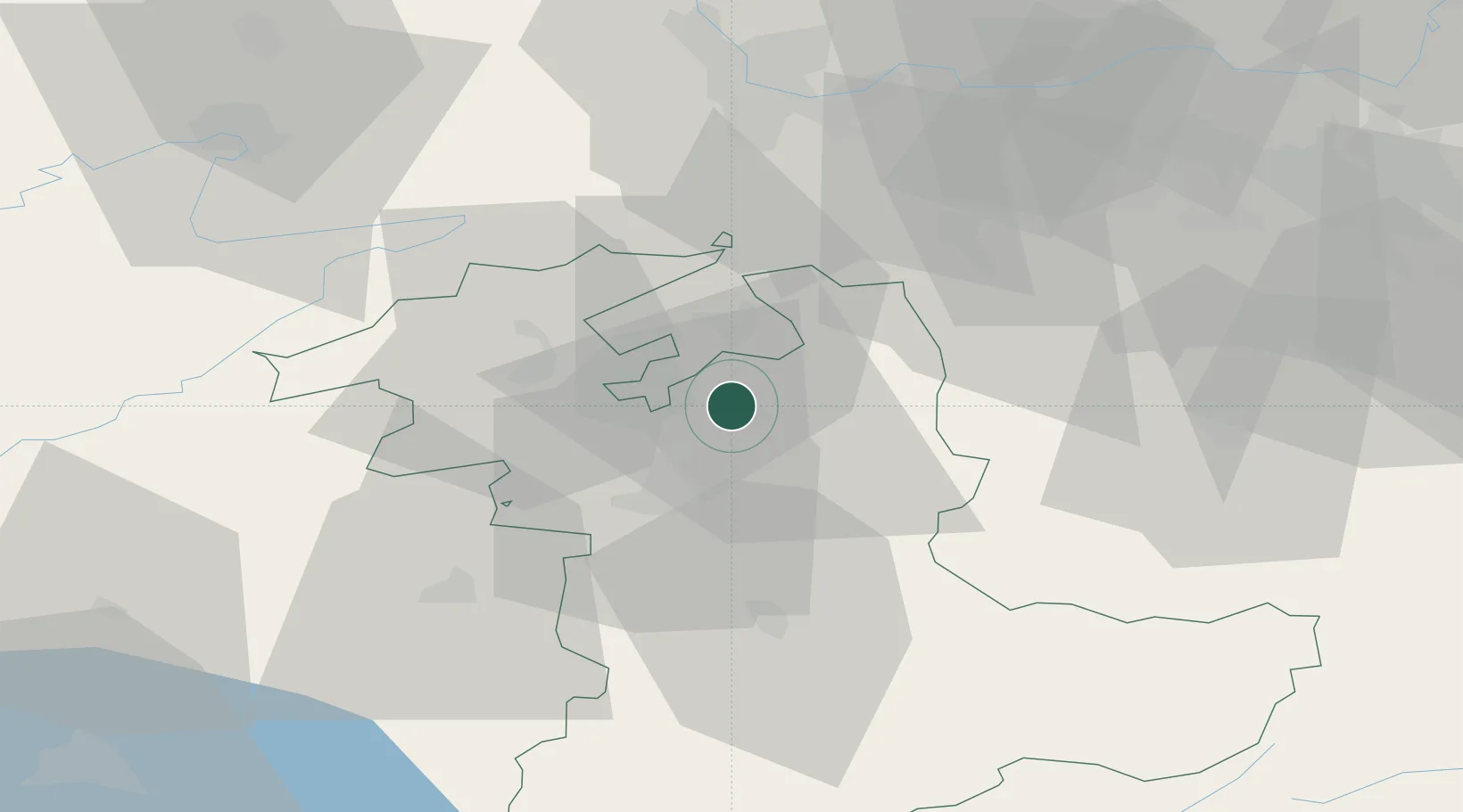
Nearby Logistics Neighbours

Cities
  1. 1Kirchberg1 km
  2. 2Fraubrunnen4 km
  3. 3Bätterkinden5 km
  4. 4Hofstatt5 km
  5. 5Oberburg5 km
Nearest neighbours — logibook spatial index (haversine) over the source coordinates
Ports
  1. 1Savona316 km
  2. 2Genova317 km
  3. 3Rada Di Vado321 km
  4. 4Chiavari - Lavagna338 km
  5. 5Imperia358 km
Nearest neighbours — logibook spatial index (haversine) over the source coordinates
Airports
  1. 1Grenchen Airfield16 km
  2. 2Bern Airport20 km
  3. 3Emmen Air Base56 km
  4. 4Payerne Air Base56 km
  5. 5Alpnach Air Base57 km
Nearest neighbours — logibook spatial index (haversine) over the source coordinates
Trade Zones
  1. 1ZFU Montbéliard75 km
  2. 2ZFU Mulhouse76 km
  3. 3ZFU Belfort85 km
  4. 4PESA - Port-Franc et Entrepôts de Lausanne-Chavornay SA87 km
  5. 5Port Franc Vevey103 km
Nearest neighbours — logibook spatial index (haversine) over the source coordinates
DatabookThe Record of Consolidated Knowledge
Switzerland beyond logistics?
Browse databook

All Sources

LocationsUN/LOCODE
UN/LOCODE — free
Portsthe NGA World Port Index
Public domain (US gov)
AirportsOurAirports
Public domain
Trade Zonesthe World Bank SEZ database
CC BY 4.0
Trade ZonesOpen Zone Map
CC BY
← Switzerland locations