Transport Functions
Rail
Road
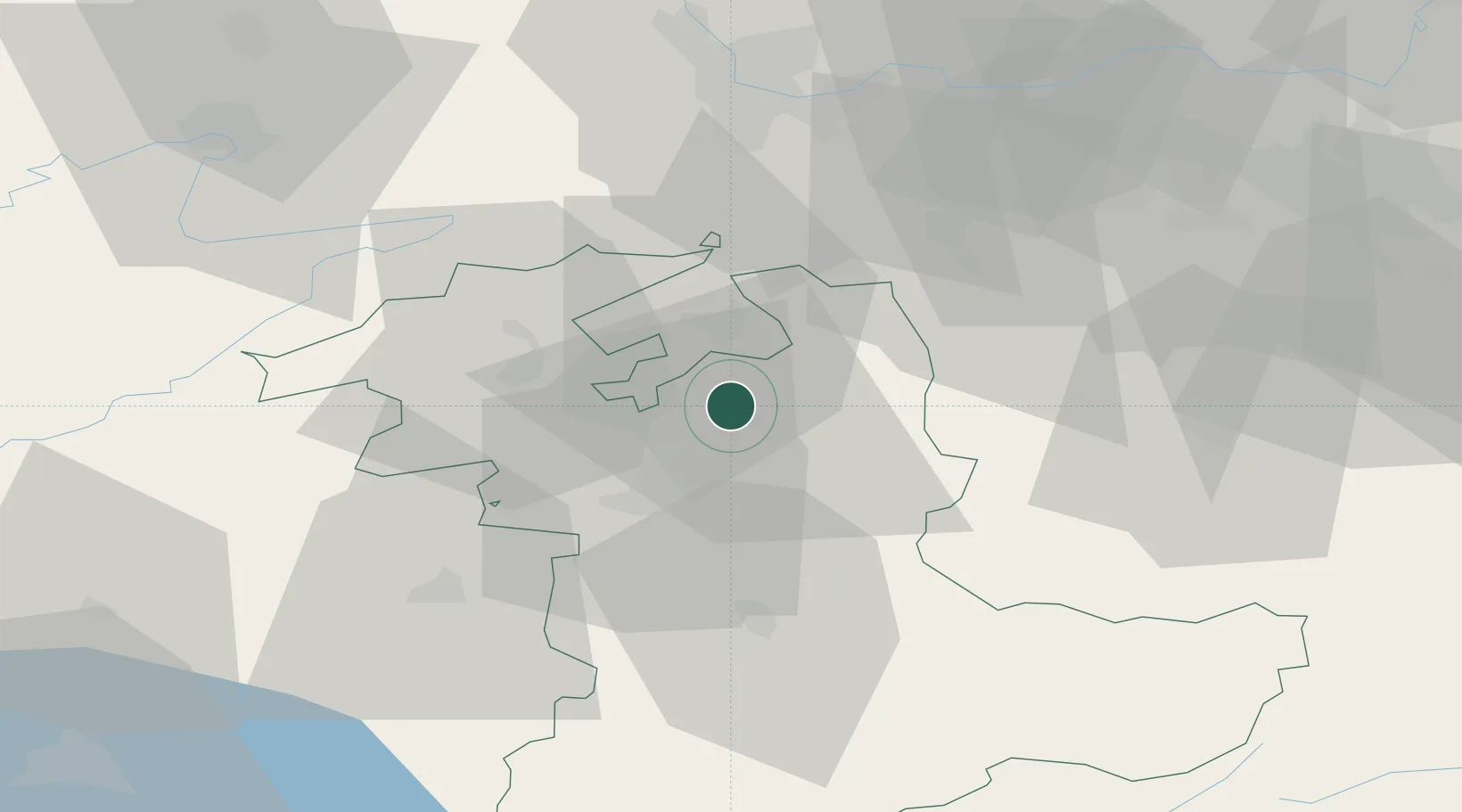
Hub Profile
Place type
Populated place
Region
Bern
Population
5,335
Time zone
Europe/Zurich
Elevation
509 m
Location
Nearby Logistics Neighbours
Cities
- 1Rüdtligen-Alchenflüh1 km
- 2Hofstatt5 km
- 3Oberburg5 km
- 4Fraubrunnen5 km
- 5Bätterkinden5 km
Ports
- 1Savona316 km
- 2Genova316 km
- 3Rada Di Vado321 km
- 4Chiavari - Lavagna337 km
- 5Imperia358 km
Airports
- 1Grenchen Airfield17 km
- 2Bern Airport20 km
- 3Emmen Air Base55 km
- 4Alpnach Air Base55 km
- 5Payerne Air Base57 km
Trade Zones
- 1ZFU Montbéliard76 km
- 2ZFU Mulhouse76 km
- 3ZFU Belfort86 km
- 4PESA - Port-Franc et Entrepôts de Lausanne-Chavornay SA88 km
- 5Port Franc Vevey104 km
DatabookThe Record of Consolidated Knowledge
Switzerland beyond logistics?