Transport Functions
Port
Multimodal
Hub Profile
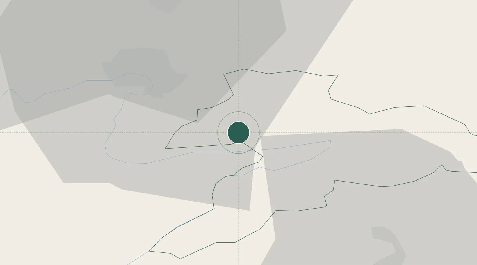
Place type
Populated place
Region
Jura
Population
583
Time zone
Europe/Zurich
Elevation
477 m
Location
Nearby Logistics Neighbours
Cities
- 1Courgenay9 km
- 2Saint-Ursanne11 km
- 3Alle12 km
- 4Delle13 km
- 5Dampierre-les-Bois14 km
Ports
- 1Savona360 km
- 2Genova364 km
- 3Rada Di Vado365 km
- 4Chiavari - Lavagna387 km
- 5Imperia397 km
Airports
- 1Montbéliard-Courcelles Airfield20 km
- 2Les Eplatures Airport37 km
- 3Grenchen Airfield39 km
- 4EuroAirport Basel–Mulhouse–Freiburg46 km
- 5Payerne Air Base60 km
Trade Zones
- 1ZFU Montbéliard21 km
- 2ZFU Belfort33 km
- 3ZFU Mulhouse48 km
- 4ZFU Besancon77 km
- 5PESA - Port-Franc et Entrepôts de Lausanne-Chavornay SA82 km
DatabookThe Record of Consolidated Knowledge
Switzerland beyond logistics?