Transport Functions
Road
Multimodal
Hub Profile
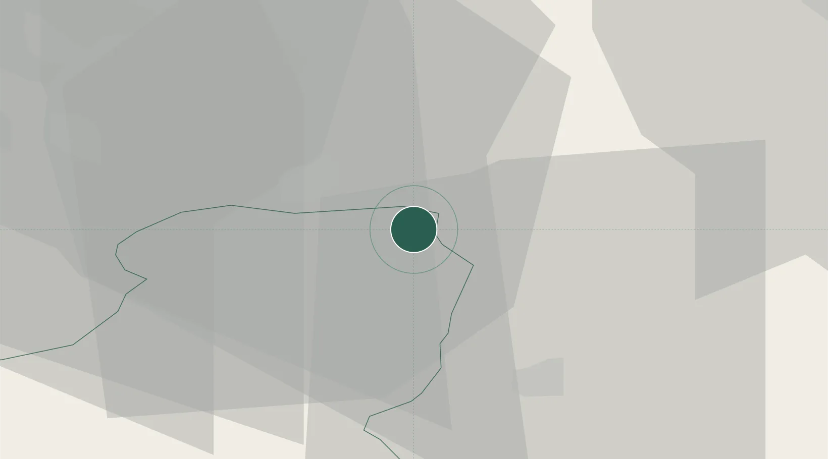
Place type
Populated place
Region
Schwyz
Population
2,671
Time zone
Europe/Zurich
Elevation
407 m
Location
Nearby Logistics Neighbours
Cities
- 1Schmerikon2 km
- 2Uznach3 km
- 3Schmerikon4 km
- 4Schübelbach4 km
- 5Gommiswald7 km
Ports
- 1Genova312 km
- 2Savona322 km
- 3Chiavari - Lavagna323 km
- 4Rada Di Vado329 km
- 5Porto Di Lido-Venezia334 km
Airports
- 1Dübendorf Air Base31 km
- 2Zürich Airport41 km
- 3Emmen Air Base49 km
- 4Alpnach Air Base57 km
- 5Sankt Gallen Altenrhein Airport57 km
Trade Zones
- 1Livigno Free Trade Zone116 km
- 2ZFU Mulhouse135 km
- 3Magazzini Generali Con Chiasso151 km
- 4ZFU Montbéliard165 km
- 5ZFU Belfort168 km
DatabookThe Record of Consolidated Knowledge
Switzerland beyond logistics?