Transport Functions
Rail
Road
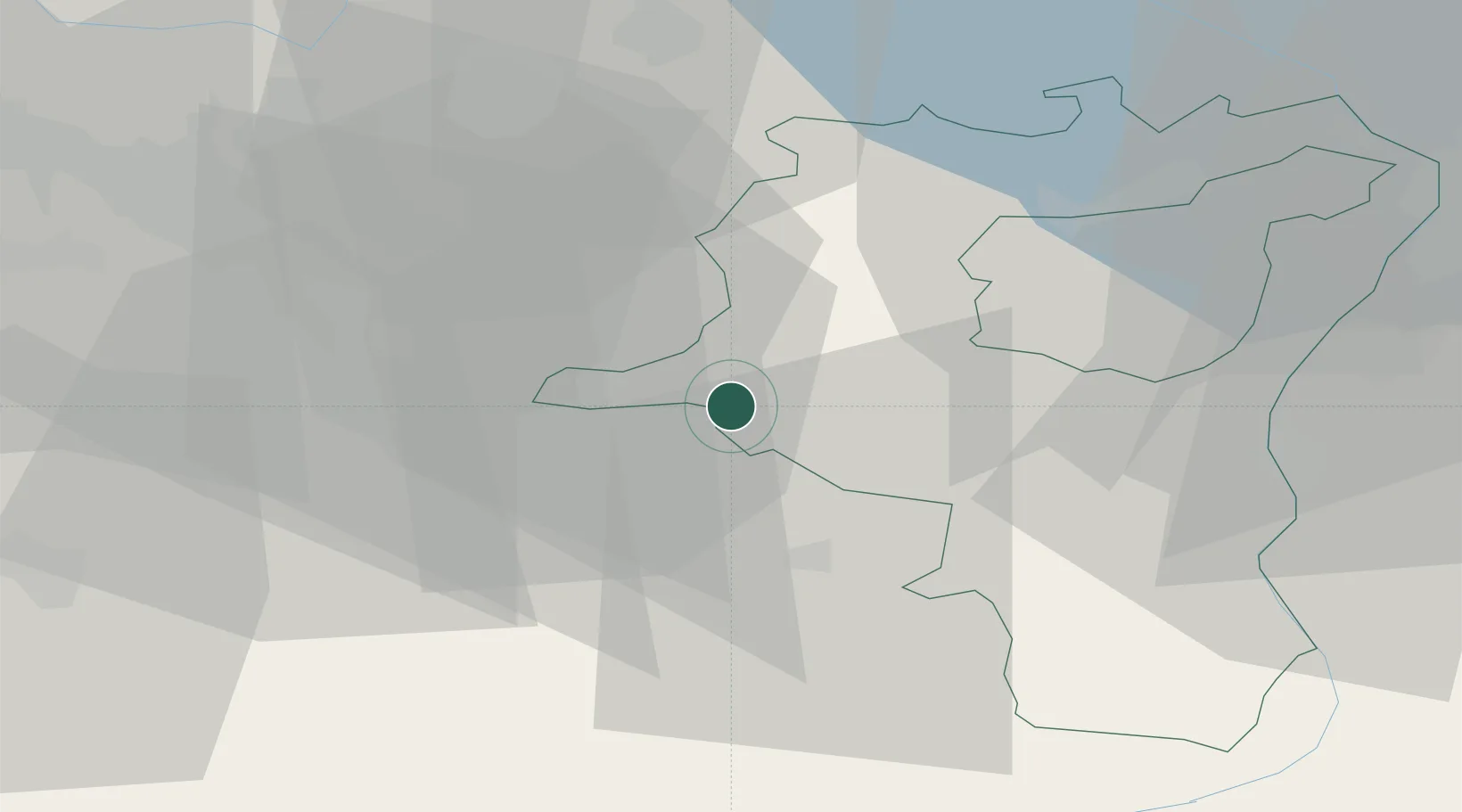
Hub Profile
Place type
Populated place
Region
Saint Gallen
Population
5,561
Time zone
Europe/Zurich
Elevation
411 m
Location
Nearby Logistics Neighbours
Cities
- 1Schmerikon3 km
- 2Schmerikon3 km
- 3Tuggen3 km
- 4Gommiswald4 km
- 5Goldingen6 km
Ports
- 1Genova313 km
- 2Savona325 km
- 3Chiavari - Lavagna325 km
- 4Rada Di Vado331 km
- 5Porto Di Lido-Venezia333 km
Airports
- 1Dübendorf Air Base31 km
- 2Zürich Airport41 km
- 3Emmen Air Base52 km
- 4Sankt Gallen Altenrhein Airport54 km
- 5Alpnach Air Base60 km
Trade Zones
- 1Livigno Free Trade Zone115 km
- 2ZFU Mulhouse136 km
- 3Magazzini Generali Con Chiasso153 km
- 4ZFU Montbéliard167 km
- 5ZFU Belfort169 km
DatabookThe Record of Consolidated Knowledge
Switzerland beyond logistics?