Transport Functions
Rail
Road
Hub Profile
Place type
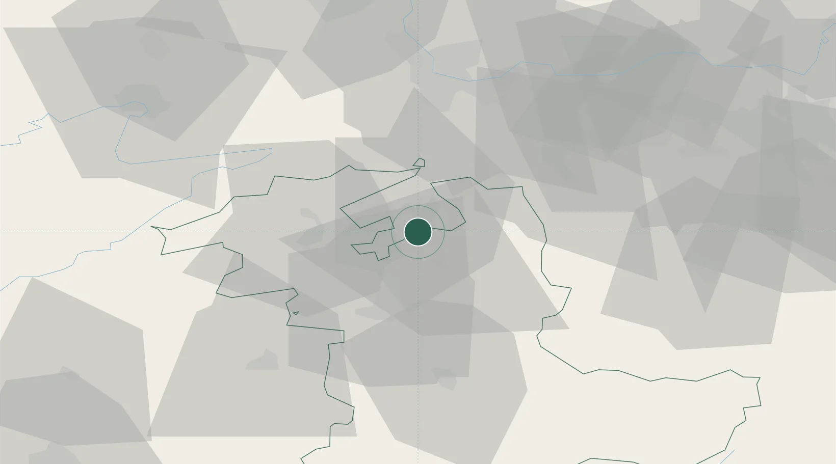
Populated place
Region
Bern
Time zone
Europe/Zurich
Elevation
464 m
Location
Nearby Logistics Neighbours
Cities
- 1Utzenstorf2 km
- 2Obergerlafingen2 km
- 3Biberist4 km
- 4Derendingen4 km
- 5Bätterkinden4 km
Ports
- 1Savona324 km
- 2Genova324 km
- 3Rada Di Vado328 km
- 4Chiavari - Lavagna345 km
- 5Imperia365 km
Airports
- 1Grenchen Airfield11 km
- 2Bern Airport27 km
- 3EuroAirport Basel–Mulhouse–Freiburg50 km
- 4Emmen Air Base58 km
- 5Les Eplatures Airport58 km
Trade Zones
- 1ZFU Mulhouse69 km
- 2ZFU Montbéliard70 km
- 3ZFU Belfort79 km
- 4PESA - Port-Franc et Entrepôts de Lausanne-Chavornay SA90 km
- 5Port Franc Vevey107 km
DatabookThe Record of Consolidated Knowledge
Switzerland beyond logistics?